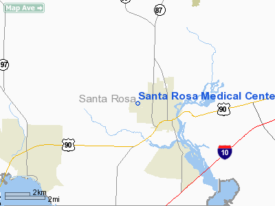
Santa Rosa Medical Center Heliport |
Location
& QuickFacts
|
FAA Information Effective: |
2007-01-18 |
|
Airport
Identifier: |
94FD |
|
Airport
Status: |
Operational |
|
Longitude/Latitude: |
087-04-04.8800W/30-38-03.6930N
-87.068022/30.634359 (Estimated) |
|
Elevation: |
156 ft / 47.55 m (Estimated) |
|
Land: |
0
acres |
|
From
nearest city: |
0 nautical miles N of Milton, FL |
|
Location: |
Santa Rosa County, FL |
|
Magnetic Variation: |
00E (1990) |
Owner
& Manager
|
Ownership: |
Privately owned |
|
Owner: |
Health Trust Inc. |
|
Address: |
1450 Berry Hill Rd.
Milton, FL 32570 |
|
Phone number: |
904-638-0250 |
|
Address: |
|
Airport
Operations and Facilities
|
Airport Use: |
Private
MEDICAL USE. |
|
Segmented
Circle: |
No |
|
Control
Tower: |
No |
|
Sectional
chart: |
New Orleans |
|
Region: |
ASO - Southern |
|
Boundary
ARTCC: |
ZJX - Jacksonville |
|
Tie-in
FSS: |
GNV - Gainesville |
|
FSS
Phone: |
850-377-3291 |
|
FSS
Toll Free: |
1-800-WX-BRIEF |
|
Runway Information
Helipad H1
|
Dimension: |
30
x 30 ft / 9.1 x 9.1 m |
|
Surface: |
CONC, |
|
|
Runway H1 |
Runway |
|
Traffic
Pattern: |
Left |
Left |
|
Radio Navigation
Aids
|
ID |
Type |
Name |
Ch |
Freq |
Var |
Dist |
|
PKZ |
NDB |
Pickens |
|
326.00 |
01E |
13.2 nm |
|
DTS |
NDB |
Destin |
|
254.00 |
01W |
33.7 nm |
|
ESU |
NDB |
Summerdale |
|
204.00 |
01E |
35.0 nm |
|
NSE |
TACAN |
Whiting |
070X |
|
01E |
6.0 nm |
|
NGS |
TACAN |
Santa Rosa |
063X |
|
01E |
6.9 nm |
|
NPA |
TACAN |
Pensacola |
119X |
|
01E |
21.0 nm |
|
HRT |
TACAN |
Hurlburt |
045X |
|
00E |
23.2 nm |
|
DWG |
TACAN |
Warrington |
002X |
|
00E |
29.8 nm |
|
NUN |
VOR |
Saufley |
|
108.80 |
01E |
16.9 nm |
|
CEW |
VORTAC |
Crestview |
106X |
115.90 |
03E |
23.2 nm |
Remarks
- PRVDD
PR USE; APCH/DEP RTE OPS FM 330 TO 030 & FM 090 TO 120; TKOF/LDG
AREA MKD; & WIND INDICATOR MAINTAINED.
Santa Rosa Medical Center Heliport
Address:
Santa Rosa County, FL
Tel:
904-638-0250
Images
and information placed above are from
http://www.airport-data.com/airport/94FD/
We
thank them for the data!
| General
Info |
| Country |
United
States |
| State |
FLORIDA
|
| FAA ID |
94FD
|
| Latitude |
30-38-03.693N
|
| Longitude |
087-04-04.880W
|
| Elevation |
156 feet
|
| Near City |
MILTON
|
We don't guarantee the information is fresh and accurate. The data may
be wrong or outdated.
For more up-to-date information please refer to other sources.
|


