 |
|
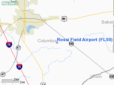
Location
& QuickFacts
|
FAA Information Effective: |
2007-01-18 |
|
Airport
Identifier: |
FL50 |
|
Airport
Status: |
Operational |
|
Longitude/Latitude: |
082-34-20.4400W/30-08-47.8400N
-82.572344/30.146622 (Estimated) |
|
Elevation: |
183 ft / 55.78 m (Estimated) |
|
Land: |
0 acres |
|
From
nearest city: |
4 nautical miles NW of Lake City, FL |
|
Location: |
Columbia County, FL |
|
Magnetic Variation: |
04W (2000) |
Owner
& Manager
|
Ownership: |
Privately owned |
|
Owner: |
Lenvil H. Dicks |
|
Address: |
P.o. Box 1
Lake City, FL 32056 |
|
Phone
number: |
904-752-8585 |
|
Manager: |
Brad Dicks |
|
Address: |
P.o. Box 1
Lake City, FL 32056 |
|
Phone number: |
904-752-8585 |
Airport
Operations and Facilities
|
Airport Use: |
Private |
|
Segmented
Circle: |
No |
|
Control
Tower: |
No |
|
Sectional
chart: |
Jacksonville |
|
Region: |
ASO - Southern |
|
Boundary
ARTCC: |
ZJX - Jacksonville |
|
Tie-in
FSS: |
GNV - Gainesville |
|
FSS
Phone: |
850-377-3291 |
|
FSS
Toll Free: |
1-800-WX-BRIEF |
|
Runway Information
Runway 12/30
|
Dimension: |
3513 x 150 ft / 1070.8 x 45.7 m |
|
Surface: |
TURF, |
|
|
Runway 12 |
Runway 30 |
|
Traffic
Pattern: |
Left |
Left |
|
Obstruction: |
93 ft trees, 184.0 ft from runway |
64 ft trees, 27.0 ft from runway |
|
Radio Navigation
Aids
|
ID |
Type |
Name |
Ch |
Freq |
Var |
Dist |
|
LCQ |
NDB |
Lake City |
|
204.00 |
03W |
2.3 nm |
|
GN |
NDB |
Wynds |
|
269.00 |
04W |
35.4 nm |
|
HEG |
NDB |
Herlong |
|
332.00 |
02W |
40.4 nm |
|
JA |
NDB |
Dinns |
|
344.00 |
03W |
44.3 nm |
|
IAK |
NDB |
Palatka |
|
243.00 |
05W |
49.5 nm |
|
NZC |
TACAN |
Cecil/dcmsnd |
088X |
|
04W |
36.7 nm |
|
NIP |
TACAN |
Jacksonville |
19X |
|
04W |
46.9 nm |
|
VQQ |
VOR |
Cecil |
|
117.90 |
03W |
35.6 nm |
|
TAY |
VORTAC |
Taylor |
076X |
112.90 |
03W |
21.5 nm |
|
GNV |
VORTAC |
Gators |
109X |
116.20 |
04W |
31.5 nm |
|
CTY |
VORTAC |
Cross City |
057X |
112.00 |
02W |
41.2 nm |
Remarks
- PRVDD
VFR OPNS & PVT USE.
Rossi Field Airport
Address:
Columbia County, FL
Tel:
904-752-8585
Images
and information placed above are from
http://www.airport-data.com/airport/FL50/
We
thank them for the data!
| General
Info |
| Country |
United
States |
| State |
FLORIDA
|
| FAA ID |
FL50
|
| Latitude |
30-08-47.840N
|
| Longitude |
082-34-20.440W
|
| Elevation |
183 feet
|
| Near City |
LAKE CITY
|
We don't guarantee the information is fresh and accurate. The data may
be wrong or outdated.
For more up-to-date information please refer to other sources.
|
|


