 |
|
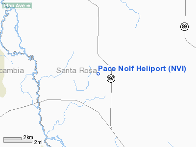
Location
& QuickFacts
|
FAA Information Effective: |
2007-01-18 |
|
Airport
Identifier: |
NVI |
|
Airport
Status: |
Operational |
|
Longitude/Latitude: |
087-11-44.3310W/30-41-58.7510N
-87.195648/30.699653 (Estimated) |
|
Elevation: |
180 ft / 54.86 m (Estimated) |
|
Land: |
0 acres |
|
From
nearest city: |
2 nautical miles NW of Wallace, FL |
|
Location: |
Santa Rosa County, FL |
|
Magnetic Variation: |
02W (2000) |
Owner
& Manager
|
Ownership: |
Navy owned |
|
Owner: |
Us Navy |
|
Address: |
Whiting Field Nas-north
Milton, FL 32570 |
|
Phone
number: |
DSN-868-7717 |
|
Manager: |
Operations Duty Officer |
|
Address: |
Whiting Field Nas-north
Milton, FL 32570 |
|
Phone number: |
DSN-868-7717 |
Airport
Operations and Facilities
|
Airport Use: |
Private |
|
Segmented
Circle: |
No |
|
Control
Tower: |
No |
|
Sectional
chart: |
New Orleans |
|
Region: |
ASO - Southern |
|
Boundary
ARTCC: |
ZJX - Jacksonville |
|
Tie-in
FSS: |
GNV - Gainesville |
|
FSS
Phone: |
850-377-3291 |
|
FSS
Toll Free: |
1-800-WX-BRIEF |
|
Runway Information
Helipad H1
|
Dimension: |
3000 x 3000 ft / 914.4 x 914.4 m |
|
Surface: |
TURF, |
|
|
Runway H1 |
Runway |
|
Traffic
Pattern: |
Left |
Left |
|
Radio Navigation
Aids
|
ID |
Type |
Name |
Ch |
Freq |
Var |
Dist |
|
PKZ |
NDB |
Pickens |
|
326.00 |
01E |
15.8 nm |
|
ESU |
NDB |
Summerdale |
|
204.00 |
01E |
30.0 nm |
|
DTS |
NDB |
Destin |
|
254.00 |
01W |
41.4 nm |
|
NSE |
TACAN |
Whiting |
070X |
|
01E |
9.3 nm |
|
NGS |
TACAN |
Santa Rosa |
063X |
|
01E |
14.3 nm |
|
NPA |
TACAN |
Pensacola |
119X |
|
01E |
21.5 nm |
|
HRT |
TACAN |
Hurlburt |
045X |
|
00E |
30.8 nm |
|
DWG |
TACAN |
Warrington |
002X |
|
00E |
37.4 nm |
|
NUN |
VOR |
Saufley |
|
108.80 |
01E |
15.5 nm |
|
CEW |
VORTAC |
Crestview |
106X |
115.90 |
03E |
27.7 nm |
|
BFM |
VORTAC |
Brookley |
075X |
112.80 |
04E |
44.8 nm |
|
MVC |
VORTAC |
Monroeville |
115X |
116.80 |
04E |
46.4 nm |
Pace Nolf Heliport
Address:
Santa Rosa County, FL
Tel:
DSN-868-7717
Images
and information placed above are from
http://www.airport-data.com/airport/NVI/
We
thank them for the data!
| General
Info |
| Country |
United
States |
| State |
FLORIDA
|
| FAA ID |
NVI
|
| Latitude |
30-41-58.751N
|
| Longitude |
087-11-44.331W
|
| Elevation |
180 feet
|
| Near City |
WALLACE
|
We don't guarantee the information is fresh and accurate. The data may
be wrong or outdated.
For more up-to-date information please refer to other sources.
|
|


