 |
|
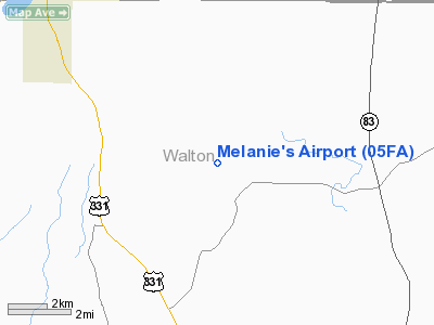
Location
& QuickFacts
|
FAA Information Effective: |
2007-01-18 |
|
Airport
Identifier: |
05FA |
|
Airport
Status: |
Operational |
|
Longitude/Latitude: |
086-13-06.0000W/30-55-08.0000N
-86.218333/30.918889 (Estimated) |
|
Elevation: |
295 ft / 89.92 m (Estimated) |
|
Land: |
418 acres |
|
From
nearest city: |
10 nautical miles SE of Florala, FL |
|
Location: |
Walton County, FL |
|
Magnetic Variation: |
() |
Owner
& Manager
|
Ownership: |
Privately owned |
|
Owner: |
Melanie & Jim Nipper |
|
Address: |
316 Thacker Lane
Raeford, NC 28376 |
|
Phone number: |
910-875-7657 |
|
Manager: |
Melanie Nipper |
|
Address: |
316 Thacker Lane
Raeford, NC 28376 |
|
Phone number: |
910-875-7657 |
Airport
Operations and Facilities
|
Airport Use: |
Private |
|
Control Tower: |
No |
|
Sectional chart: |
New Orleans |
|
Region: |
ASO - Southern |
|
Boundary ARTCC: |
ZJX - Jacksonville |
|
Responsible ARTCC: |
ZJX - Jacksonville |
|
Tie-in FSS: |
GNV - Gainesville |
|
FSS Phone: |
850-377-3291 |
|
FSS Toll Free: |
1-800-WX-BRIEF |
Airport
Communications
|
Runway Information
Runway 08/26
|
Dimension: |
2500 x 75 ft / 762.0 x 22.9 m |
|
Surface: |
TURF, |
|
|
Runway 08 |
Runway 26 |
|
Traffic
Pattern: |
Left |
Left |
|
Radio Navigation
Aids
|
ID |
Type |
Name |
Ch |
Freq |
Var |
Dist |
|
JUY |
NDB |
Judd |
|
264.00 |
02W |
24.9 nm |
|
OZ |
NDB |
Ruckr |
|
212.00 |
00E |
27.7 nm |
|
BVG |
NDB |
Boll Weevil |
|
352.00 |
03E |
27.9 nm |
|
BKK |
NDB |
Tri County |
|
275.00 |
02W |
32.1 nm |
|
DTS |
NDB |
Destin |
|
254.00 |
01W |
33.6 nm |
|
LOR |
NDB |
Lowe |
|
269.00 |
03W |
36.1 nm |
|
XBR |
NDB |
Brantley |
|
410.00 |
00E |
38.8 nm |
|
HYE |
NDB |
Hanchey |
|
221.00 |
00E |
39.7 nm |
|
XNE |
NDB |
Spring Hill |
|
281.00 |
00E |
47.7 nm |
|
DWG |
TACAN |
Warrington |
002X |
|
00E |
30.8 nm |
|
HRT |
TACAN |
Hurlburt |
045X |
|
00E |
38.3 nm |
|
NGS |
TACAN |
Santa Rosa |
063X |
|
01E |
41.4 nm |
|
NSE |
TACAN |
Whiting |
070X |
|
01E |
42.9 nm |
|
UIA |
VOR |
Andalusia |
|
110.20 |
00E |
25.1 nm |
|
EDN |
VOR |
Enterprise |
|
116.60 |
03W |
27.9 nm |
|
FYL |
VOR |
Tri County |
|
108.40 |
08W |
31.8 nm |
|
HEY |
VOR |
Hanchey |
|
110.60 |
02E |
39.9 nm |
|
OZR |
VOR/DME |
Cairns |
049X |
111.20 |
02E |
32.9 nm |
|
CEW |
VORTAC |
Crestview |
106X |
115.90 |
03E |
24.4 nm |
|
RRS |
VORTAC |
Wiregrass |
053X |
111.60 |
02E |
46.1 nm |
Remarks
- SKYDIVING
ON & INVOF ARPT.
- 100
FT TWR 2.5 NM NW OF ARPT.
- PRVDD
VFR OPN AND PVT USE.
Based Aircraft
|
Aircraft
based on field: |
2 |
|
Single
Engine Airplanes: |
2 |
Melanie's Airport
Address:
Walton County, FL
Tel:
910-875-7657
Images
and information placed above are from
http://www.airport-data.com/airport/05FA/
We
thank them for the data!
We don't guarantee the information is fresh and accurate. The data may
be wrong or outdated.
For more up-to-date information please refer to other sources.
|
|


