 |
|
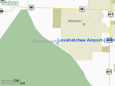
Location
& QuickFacts
|
FAA Information Effective: |
2007-01-18 |
|
Airport
Identifier: |
7FD6 |
|
Airport
Status: |
Operational |
|
Longitude/Latitude: |
080-18-19.1740W/26-37-21.2440N
-80.305326/26.622568 (Estimated) |
|
Elevation: |
14 ft / 4.27 m (Estimated) |
|
Land: |
0 acres |
|
From
nearest city: |
15 nautical miles W of Lake Worth, FL |
|
Location: |
Palm Beach County, FL |
|
Magnetic Variation: |
03W (1985) |
Owner
& Manager
|
Ownership: |
Privately owned |
|
Owner: |
John Mc Carthy |
|
Address: |
2750 Ne 40th Court
Lighthouse Point, FL 33064 |
|
Phone
number: |
954-782-0684 |
|
Manager: |
Mike Mc Carthy |
|
Address: |
4153 160th Ave South
Wellington, FL 33414 |
|
Phone number: |
561-793-4370 |
Airport
Operations and Facilities
|
Airport Use: |
Private |
|
Wind
indicator: |
Yes |
|
Segmented
Circle: |
Yes |
|
Control
Tower: |
No |
|
Sectional
chart: |
Miami |
|
Region: |
ASO - Southern |
|
Boundary
ARTCC: |
ZMA - Miami |
|
Tie-in
FSS: |
MIA - Miami |
|
FSS
Phone: |
305-233-2600 |
|
FSS
Toll Free: |
1-800-WX-BRIEF |
|
Runway Information
Runway 12/30
|
Dimension: |
1800 x 100 ft / 548.6 x 30.5 m |
|
Surface: |
TURF, |
|
|
Runway 12 |
Runway 30 |
|
Traffic
Pattern: |
Right |
Left |
|
Radio Navigation
Aids
|
ID |
Type |
Name |
Ch |
Freq |
Var |
Dist |
|
PB |
NDB |
Rubin |
|
356.00 |
03W |
6.4 nm |
|
UTX |
NDB |
United |
|
405.00 |
03W |
17.3 nm |
|
FX |
NDB |
Praiz |
|
221.00 |
02W |
26.3 nm |
|
PJN |
NDB |
Plantation |
|
242.00 |
03W |
29.8 nm |
|
FLL |
VOR/DME |
Fort Lauderdale |
091X |
114.40 |
00E |
33.9 nm |
|
PBI |
VORTAC |
Palm Beach |
104X |
115.70 |
03W |
12.3 nm |
|
PHK |
VORTAC |
Pahokee |
101X |
115.40 |
00E |
22.9 nm |
|
DHP |
VORTAC |
Dolphin |
086X |
113.90 |
04W |
49.5 nm |
|
PBI |
VOT |
Palm Beach |
|
109.00 |
|
11.5 nm |
|
MIA |
VOT |
Miami Intl |
|
112.00 |
|
49.8 nm |
Remarks
Based Aircraft
|
Aircraft
based on field: |
1 |
|
Single
Engine Airplanes: |
1 |
Loxahatchee Airport
Address:
Palm Beach County, FL
Tel:
954-782-0684,
561-793-4370
Images
and information placed above are from
http://www.airport-data.com/airport/7FD6/
We
thank them for the data!
| General
Info |
| Country |
United
States |
| State |
FLORIDA
|
| FAA ID |
7FD6
|
| Latitude |
26-37-21.244N
|
| Longitude |
080-18-19.174W
|
| Elevation |
14 feet
|
| Near City |
LAKE WORTH
|
We don't guarantee the information is fresh and accurate. The data may
be wrong or outdated.
For more up-to-date information please refer to other sources.
|
|


