 |
|
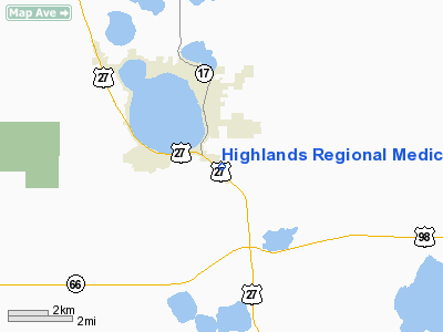
Highlands Regional Medical Center Heliport |
|
|
Location
& QuickFacts
|
FAA Information Effective: |
2007-01-18 |
|
Airport
Identifier: |
9FD3 |
|
Airport
Status: |
Operational |
|
Longitude/Latitude: |
081-25-56.2640W/27-27-56.1350N
-81.432296/27.465593 (Estimated) |
|
Elevation: |
106 ft / 32.31 m (Estimated) |
|
Land: |
0 acres |
|
From
nearest city: |
2 nautical miles S of Sebring, FL |
|
Location: |
Highlands County, FL |
|
Magnetic Variation: |
02W (1985) |
Owner
& Manager
|
Ownership: |
Publicly owned |
|
Owner: |
Highlands Co Hospital Dist |
|
Address: |
3600 S Highlands Avenue
Sebring, FL 33870 |
|
Phone
number: |
813-385-6101 |
|
Manager: |
Scott Campbell Executive Dir |
|
Address: |
3600 S Highlands Avenue
Serbring, FL 33870 |
|
Phone number: |
813-385-6101 |
Airport
Operations and Facilities
|
Airport Use: |
Private
MEDICAL. |
|
Wind
indicator: |
Yes |
|
Segmented
Circle: |
No |
|
Control
Tower: |
No |
|
Lighting
Schedule: |
PHONE REQ
FOR PERIMETER LGTS CALL 813-385-6101. |
|
Sectional
chart: |
Miami |
|
Region: |
ASO - Southern |
|
Boundary
ARTCC: |
ZMA - Miami |
|
Tie-in
FSS: |
PIE - Saint Petersburg |
|
FSS
Toll Free: |
1-800-WX-BRIEF |
|
Runway Information
Helipad H1
|
Dimension: |
70 x 70 ft / 21.3 x 21.3 m |
|
Surface: |
CONC, |
|
|
Runway H1 |
Runway |
|
Traffic
Pattern: |
Left |
Left |
|
Radio Navigation
Aids
|
ID |
Type |
Name |
Ch |
Freq |
Var |
Dist |
|
CHN |
NDB |
Wauchula |
|
261.00 |
04W |
24.2 nm |
|
ISM |
NDB |
Kissimmee |
|
329.00 |
05W |
49.5 nm |
|
PGD |
VOR |
Punta Gorda |
|
110.20 |
03W |
44.5 nm |
|
LBV |
VORTAC |
La Belle |
041X |
110.40 |
01E |
38.4 nm |
|
LAL |
VORTAC |
Lakeland |
107X |
116.00 |
01E |
44.0 nm |
Remarks
- (E111-1)
FIRE PROTECTION AND MARKING BE IN ACCORDANCE WITH AC 150/5390-1B.
- PRVDD
VFR/PVT USE; SECURITY FENCE PLACED AROUND HELISPOT; PLINES AND POLES
SOUTH SIDE BE REMOVED AND OBSTRUCTION LGT PLACED ON SW POWER POLE; LGT
POLE ON NORTH SIDE BE REMOVED AND LGT POLE FURTHER NORTH HAVE AN OBSTRUCTION
LGT PLACED ON TOP.
Highlands Regional Medical Center Heliport
Address:
Highlands County, FL
Tel:
813-385-6101
Images
and information placed above are from
http://www.airport-data.com/airport/9FD3/
We
thank them for the data!
| General
Info |
| Country |
United
States |
| State |
FLORIDA
|
| FAA ID |
9FD3
|
| Latitude |
27-27-56.135N
|
| Longitude |
081-25-56.264W
|
| Elevation |
106 feet
|
| Near City |
SEBRING
|
We don't guarantee the information is fresh and accurate. The data may
be wrong or outdated.
For more up-to-date information please refer to other sources.
|
|


