 |
|
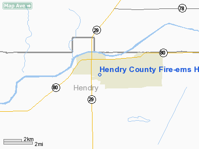
Hendry County Fire-ems Heliport |
|
|
Location
& QuickFacts
|
FAA
Information Effective: |
2007-01-18 |
|
Airport
Identifier: |
1FL9 |
|
Airport
Status: |
Operational |
|
Longitude/Latitude: |
081-25-43.0000W/26-44-47.0000N
-81.428611/26.746389 (Estimated) |
|
Elevation: |
18 ft / 5.49 m (Estimated) |
|
Land: |
1 acres |
|
From
nearest city: |
0 nautical miles N of La Belle, FL |
|
Location: |
Hendry County, FL |
|
Magnetic Variation: |
04W (1995) |
Owner
& Manager
|
Ownership: |
Privately
owned |
|
Owner: |
Hendry County Fire-ems |
|
Address: |
P.o. Box 1760
La Belle, FL 33935-1760 |
|
Phone
number: |
941-675-5220 |
|
Manager: |
Randall A. Bengston
DIRECTOR, HENDRY COUNTY FIRE-EMS. |
|
Address: |
P.o. Box 1760
La Belle, FL 33935-1760 |
|
Phone number: |
941-675-5337 |
Airport Operations and Facilities
|
Airport
Use: |
Private
MEDICAL USE. |
|
Wind
indicator: |
Yes |
|
Segmented Circle: |
No |
|
Control
Tower: |
No |
|
Lighting
Schedule: |
PHONE REQ
FOR ROTG BCN CALL 941-675-5337. |
|
Beacon
Color: |
Clear-Green-Yellow (heliport) |
|
Sectional chart: |
Miami |
|
Region: |
ASO - Southern |
|
Boundary
ARTCC: |
ZMA - Miami |
|
Tie-in
FSS: |
MIA - Miami |
|
FSS
Phone: |
305-233-2600 |
|
FSS
Toll Free: |
1-800-WX-BRIEF |
|
Runway Information
Helipad H1
|
Dimension: |
100
x 100 ft / 30.5 x 30.5 m |
|
Surface: |
CONC, |
|
|
Runway H1 |
Runway |
|
Traffic
Pattern: |
Left |
Left |
|
Radio Navigation
Aids
|
ID |
Type |
Name |
Ch |
Freq |
Var |
Dist |
|
APF |
NDB |
Naples |
|
201.00 |
03W |
40.1 nm |
|
PGD |
VOR |
Punta Gorda |
|
110.20 |
03W |
31.9 nm |
|
CYY |
VOR/DME |
Cypress |
023X |
108.60 |
03W |
40.3 nm |
|
LBV |
VORTAC |
La Belle |
041X |
110.40 |
01E |
5.3 nm |
|
RSW |
VORTAC |
Lee County |
055X |
111.80 |
02W |
22.7 nm |
|
PHK |
VORTAC |
Pahokee |
101X |
115.40 |
00E |
39.6 nm |
Remarks
- 23
FT BLDG 100 FT EAST OF HELIPAD.
- PRVDD
VFR/PVT USE, APCH/DEP FROM 360 CLKWS 030.
Hendry County Fire-ems Heliport
Address:
Hendry County, FL
Tel:
941-675-5220,
941-675-5337
Images
and information placed above are from
http://www.airport-data.com/airport/1FL9/
We
thank them for the data!
| General
Info |
| Country |
United
States |
| State |
FLORIDA
|
| FAA ID |
1FL9 |
| Latitude |
26-44-47.000N
|
| Longitude |
081-25-43.000W
|
| Elevation |
18 feet
|
| Near City |
LA BELLE
|
We don't guarantee the information is fresh and accurate. The data may
be wrong or outdated.
For more up-to-date information please refer to other sources.
|
|


