 |
|
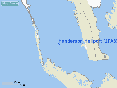
Location
& QuickFacts
|
FAA Information Effective: |
2007-01-18 |
|
Airport
Identifier: |
2FA3 |
|
Airport
Status: |
Operational |
|
Longitude/Latitude: |
082-09-06.3380W/26-31-07.2820N
-82.151761/26.518689 (Estimated) |
|
Elevation: |
8 ft / 2.44 m (Estimated) |
|
Land: |
0 acres |
|
From
nearest city: |
2 nautical miles S of Bokeelia, FL |
|
Location: |
Lee County, FL |
|
Magnetic Variation: |
02W (1985) |
Owner
& Manager
|
Ownership: |
Privately owned |
|
Owner: |
Larry S. Henderson |
|
Address: |
15061 Stringfellow Road
Bokeelia, FL 33922 |
|
Phone number: |
813-283-0346 |
|
Manager: |
Larry S. Henderson |
|
Address: |
15061 Stringfellow Road
Bokeelia, FL 33922 |
|
Phone number: |
813-283-0346 |
Airport
Operations and Facilities
|
Airport Use: |
Private |
|
Wind
indicator: |
Yes |
|
Segmented
Circle: |
No |
|
Control
Tower: |
No |
|
Landing
fee charge: |
No |
|
Sectional
chart: |
Miami |
|
Region: |
ASO - Southern |
|
Boundary
ARTCC: |
ZMA - Miami |
|
Tie-in
FSS: |
MIA - Miami |
|
FSS
on Airport: |
No |
|
FSS
Phone: |
305-233-2600 |
|
FSS
Toll Free: |
1-800-WX-BRIEF |
|
Runway Information
Helipad H1
|
Dimension: |
150 x 150 ft / 45.7 x 45.7 m |
|
Surface: |
TURF, |
|
|
Runway H1 |
Runway |
|
Traffic
Pattern: |
Left |
Left |
|
Radio Navigation
Aids
|
ID |
Type |
Name |
Ch |
Freq |
Var |
Dist |
|
APF |
NDB |
Naples |
|
201.00 |
03W |
29.8 nm |
|
VNC |
NDB |
Venice |
|
206.00 |
02W |
35.9 nm |
|
PGD |
VOR |
Punta Gorda |
|
110.20 |
03W |
25.4 nm |
|
CYY |
VOR/DME |
Cypress |
023X |
108.60 |
03W |
29.8 nm |
|
RSW |
VORTAC |
Lee County |
055X |
111.80 |
02W |
20.2 nm |
|
LBV |
VORTAC |
La Belle |
041X |
110.40 |
01E |
44.9 nm |
Remarks
- VFR
PVT USE; USE OF HELIPORT COORDINATED WITH ST PETERSBURG GADO.
Based Aircraft
|
Aircraft
based on field: |
1 |
|
Helicopters: |
1 |
Henderson Heliport
Address:
Lee County, FL
Tel:
813-283-0346
Images
and information placed above are from
http://www.airport-data.com/airport/2FA3/
We
thank them for the data!
| General
Info |
| Country |
United
States |
| State |
FLORIDA
|
| FAA ID |
2FA3
|
| Latitude |
26-31-07.282N
|
| Longitude |
082-09-06.338W
|
| Elevation |
8 feet
|
| Near City |
BOKEELIA
|
We don't guarantee the information is fresh and accurate. The data may
be wrong or outdated.
For more up-to-date information please refer to other sources.
|
|


