 |
|
Location
& QuickFacts
|
FAA
Information Effective: |
2006-09-28 |
|
Airport
Identifier: |
FL77 |
|
Longitude/Latitude: |
081-04-04.2520W/26-03-16.3280N
-81.067848/26.054536 (Estimated) |
|
Elevation: |
15 ft / 4.57 m (Surveyed) |
|
Land: |
640 acres |
|
From
nearest city: |
15 nautical miles SE of Miles City, FL |
|
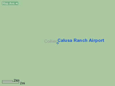
Location: |
Collier County, FL |
|
Magnetic Variation: |
02W (1985) |
Owner
& Manager
|
Ownership: |
Privately owned |
|
Owner: |
Wayne H. Drake |
|
Address: |
437 Fluvia Ave
Coral Gables, FL 33134 |
|
Phone number: |
305-443-5162 |
|
Address: |
|
Airport
Operations and Facilities
|
Airport
Use: |
Private |
|
Segmented
Circle: |
No |
|
Control
Tower: |
No |
|
Attendance
Schedule: |
UNATNDD |
|
Landing
fee charge: |
No |
|
Sectional
chart: |
Miami |
|
Region: |
ASO - Southern |
|
Boundary
ARTCC: |
ZMA - Miami |
|
Tie-in
FSS: |
MIA - Miami |
|
FSS
on Airport: |
No |
|
FSS
Phone: |
305-233-2600 |
|
FSS
Toll Free: |
1-800-WX-BRIEF |
|
Runway Information
Runway 14/32
|
Dimension: |
1835 x 100 ft / 559.3 x 30.5 m |
|
Surface: |
TURF, |
|
|
Runway 14 |
Runway 32 |
|
Traffic
Pattern: |
Left |
Left |
|
Radio Navigation
Aids
|
ID |
Type |
Name |
Ch |
Freq |
Var |
Dist |
|
APF |
NDB |
Naples |
|
201.00 |
03W |
38.6 nm |
|
FX |
NDB |
Praiz |
|
221.00 |
02W |
42.3 nm |
|
PJN |
NDB |
Plantation |
|
242.00 |
03W |
46.1 nm |
|
CYY |
VOR/DME |
Cypress |
023X |
108.60 |
03W |
38.8 nm |
|
FLL |
VOR/DME |
Fort Lauderdale |
091X |
114.40 |
00E |
49.4 nm |
|
DHP |
VORTAC |
Dolphin |
086X |
113.90 |
04W |
41.8 nm |
|
RSW |
VORTAC |
Lee County |
055X |
111.80 |
02W |
47.7 nm |
|
PHK |
VORTAC |
Pahokee |
101X |
115.40 |
00E |
48.2 nm |
|
LBV |
VORTAC |
La Belle |
041X |
110.40 |
01E |
49.7 nm |
|
MIA |
VOT |
Miami Intl |
|
112.00 |
|
45.4 nm |
Remarks
Based Aircraft
|
Aircraft
based on field: |
5 |
|
Single
Engine Airplanes: |
5 |
Calusa Ranch Airport
Address:
Collier County, FL
Tel:
305-443-5162
Images
and information placed above are from
http://www.airport-data.com/airport/FL77/
We
thank them for the data!
| General
Info |
| Country |
United
States |
| State |
FLORIDA
|
| FAA ID |
FL77
|
| Latitude |
26-03-16.328N
|
| Longitude |
081-04-04.252W
|
| Elevation |
15 feet
|
| Near City |
MILES
CITY |
We don't guarantee the information is fresh and accurate. The data may
be wrong or outdated.
For more up-to-date information please refer to other sources.
|
|


