 |
|
Location
& QuickFacts
|
FAA
Information Effective: |
2006-09-28 |
|
Airport
Identifier: |
FL52 |
|
Longitude/Latitude: |
084-05-12.6000W/30-28-51.7100N
-84.086833/30.481031 (Estimated) |
|
Elevation: |
150 ft / 45.72 m (Estimated) |
|
Land: |
0 acres |
|
From
nearest city: |
13 nautical miles W of Tallahassee, FL |
|
Location: |
Leon County, FL |
|
Magnetic Variation: |
03W (2000) |
Owner
& Manager
|
Ownership: |
Privately owned |
|
Owner: |
Joel Lee Majors |
|
Address: |
11215 Turkey Roost Road
Tallahassee, FL 32311 |
|
Phone
number: |
850-219-8958
ADDL PHONE 850-922-3550. |
|
Manager: |
Lee Majors |
|
Address: |
11215 Turkey Roost Road
Tallahassee, FL 32311 |
|
Phone number: |
850-219-8958 |
Airport
Operations and Facilities
|
Airport
Use: |
Private |
|
Wind
indicator: |
Yes |
|
Segmented
Circle: |
No |
|
Control
Tower: |
No |
|
Attendance
Schedule: |
UNATNDD |
|
Sectional
chart: |
Jacksonville |
|
Region: |
ASO - Southern |
|
Boundary
ARTCC: |
ZJX - Jacksonville |
|
Tie-in
FSS: |
GNV - Gainesville |
|
FSS
Phone: |
850-377-3291 |
|
FSS
Toll Free: |
1-800-WX-BRIEF |
|
Runway Information
Runway 01/19
|
Dimension: |
1900 x 100 ft / 579.1 x 30.5 m |
|
Surface: |
TURF, |
|
|
Runway 01 |
Runway 19 |
|
Traffic
Pattern: |
Left |
Left |
|
Radio Navigation
Aids
|
ID |
Type |
Name |
Ch |
Freq |
Var |
Dist |
|
TL |
NDB |
Wakul |
|
379.00 |
01W |
16.9 nm |
|
CYR |
NDB |
Caidy |
|
338.00 |
01W |
24.8 nm |
|
GTP |
NDB |
Patten |
|
245.00 |
02W |
31.6 nm |
|
LYZ |
NDB |
Willis |
|
359.00 |
01W |
37.3 nm |
|
FPY |
NDB |
Foley |
|
254.00 |
03W |
39.1 nm |
|
CXU |
NDB |
Camilla |
|
369.00 |
02W |
44.8 nm |
|
MGR |
VOR/DME |
Moultrie |
025X |
108.80 |
02W |
39.0 nm |
|
OTK |
VOR/DME |
Valdosta |
095X |
114.80 |
02W |
45.5 nm |
|
SZW |
VORTAC |
Seminole |
122X |
117.50 |
02E |
15.5 nm |
|
GEF |
VORTAC |
Greenville |
027X |
109.00 |
01E |
16.3 nm |
|
TLH |
VOT |
Tallahassee Muni |
|
111.00 |
|
14.8 nm |
Remarks
- 265
FT TOWER 500 FT WEST & 300 FT TOWER 2 NM SOUTHEAST OF ARPT.
- PRVDD
VFR, PVT USE.
Based Aircraft
|
Aircraft
based on field: |
1 |
|
Single
Engine Airplanes: |
1 |
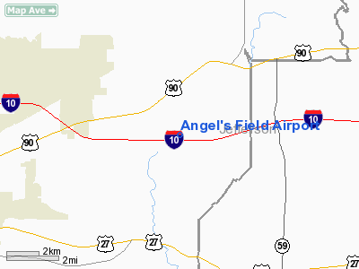
Angel's Field Airport
Address:
Leon County, FL
Tel:
850-219-8958
Images
and information placed above are from
http://www.airport-data.com/airport/FL52/
We
thank them for the data!
| General
Info |
| Country |
United
States |
| State |
FLORIDA
|
| FAA ID |
FL52
|
| Latitude |
30-28-51.710N
|
| Longitude |
084-05-12.600W
|
| Elevation |
150 feet
|
| Near City |
TALLAHASSEE |
We don't guarantee the information is fresh and accurate. The data may
be wrong or outdated.
For more up-to-date information please refer to other sources.
|
|


