 |
|
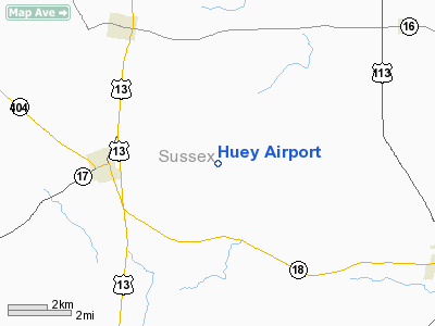
Location
& QuickFacts
|
FAA
Information Effective: |
2006-09-28 |
|
Airport
Identifier: |
DE14 |
|
Longitude/Latitude: |
075-32-05.7280W/38-44-38.4090N
-75.534924/38.744003 (Estimated) |
|
Elevation: |
45 ft / 13.72 m (Estimated) |
|
Land: |
0 acres |
|
From
nearest city: |
3 nautical miles E of Bridgeville, DE |
|
Location: |
Sussex County, DE |
|
Magnetic Variation: |
11W (1990) |
Owner
& Manager
|
Ownership: |
Privately owned |
|
Owner: |
Gene H. Huey |
|
Address: |
Rd 3, Box 175c
Bridgeville, DE 19933 |
|
Phone
number: |
302-337-7547 |
|
Manager: |
Gene H. Huey |
|
Address: |
Rd 3, Box 175c
Bridgeville, DE 19933 |
|
Phone number: |
302-337-7547 |
Airport
Operations and Facilities
|
Airport
Use: |
Private |
|
Segmented
Circle: |
No |
|
Control
Tower: |
No |
|
Attendance
Schedule: |
UNATNDD |
|
Sectional
chart: |
Washington |
|
Region: |
AEA - Eastern |
|
Boundary
ARTCC: |
ZDC - Washington |
|
Tie-in
FSS: |
MIV - Millville |
|
FSS
on Airport: |
No |
|
FSS
Phone: |
856-825-8090 |
|
FSS
Toll Free: |
1-800-WX-BRIEF |
|
Runway Information
Runway 14/32
|
Dimension: |
2600 x 110 ft / 792.5 x 33.5 m |
|
Surface: |
TURF, |
|
|
Runway 14 |
Runway 32 |
|
Traffic
Pattern: |
Left |
Left |
|
Obstruction: |
50 ft trees |
50 ft trees |
|
Radio Navigation
Aids
|
ID |
Type |
Name |
Ch |
Freq |
Var |
Dist |
|
ESN |
NDB |
Easton |
|
212.00 |
10W |
25.3 nm |
|
CGE |
NDB |
Cambridge |
|
355.00 |
10W |
26.4 nm |
|
OX |
NDB |
Landy |
|
407.00 |
12W |
27.9 nm |
|
RNB |
NDB |
Rainbow |
|
363.00 |
11W |
44.6 nm |
|
NHK |
NDB |
Patuxent |
|
400.00 |
10W |
49.2 nm |
|
DOV |
TACAN |
Dover |
037X |
|
09W |
23.6 nm |
|
ATR |
VOR/DME |
Waterloo |
073X |
112.60 |
09W |
15.7 nm |
|
SBY |
VORTAC |
Salisbury |
049X |
111.20 |
12W |
24.0 nm |
|
ENO |
VORTAC |
Smyrna |
051X |
111.40 |
09W |
29.3 nm |
|
SIE |
VORTAC |
Sea Isle |
095X |
114.80 |
09W |
40.3 nm |
|
SWL |
VORTAC |
Snow Hill |
071X |
112.40 |
08W |
41.5 nm |
|
PXT |
VORTAC |
Patuxent |
123X |
117.60 |
10W |
49.1 nm |
Remarks
Based Aircraft
|
Aircraft
based on field: |
1 |
|
Single
Engine Airplanes: |
1 |
Huey Airport
Address:
Sussex County, DE
Tel:
302-337-7547
Images
and information placed above are from
http://www.airport-data.com/airport/DE14/
We
thank them for the data!
| General
Info |
| Country |
United
States |
| State |
DELAWARE
|
| FAA ID |
DE14
|
| Latitude |
38-44-38.409N
|
| Longitude |
075-32-05.728W
|
| Elevation |
45 feet
|
| Near City |
BRIDGEVILLE
|
We don't guarantee the information is fresh and accurate. The data may
be wrong or outdated.
For more up-to-date information please refer to other sources.
|
|


