 |
|
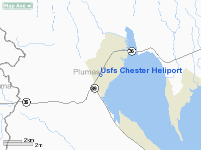
US Forest Service Chester Heliport |
Location
& QuickFacts
|
FAA
Information Effective: |
2006-09-28 |
|
Airport
Identifier: |
5Q2 |
|
Longitude/Latitude: |
121-14-35.8740W/40-17-18.5830N
-121.243298/40.288495 (Estimated) |
|
Elevation: |
4526 ft / 1379.52 m (Estimated) |
|
Land: |
0 acres |
|
From
nearest city: |
2 nautical miles SW of Chester, CA |
|
Location: |
Plumas County, CA |
|
Magnetic Variation: |
17E (1985) |
Owner
& Manager
|
Ownership: |
Publicly owned |
|
Owner: |
U.s. Forest Service |
|
Address: |
|
|
Manager: |
George Almond, Fmo |
|
Address: |
Box 767
Chester, CA 96020 |
|
Phone number: |
916-258-2141 |
Airport
Operations and Facilities
|
Airport
Use: |
Private |
|
Segmented
Circle: |
No |
|
Control
Tower: |
No |
|
Attendance
Schedule: |
JUNE-OCT/ALL/0900-1800 |
|
Sectional
chart: |
Klamath Falls |
|
Region: |
AWP - Western-Pacific |
|
Boundary
ARTCC: |
ZOA - Oakland |
|
Tie-in
FSS: |
RIU - Rancho Murieta |
|
FSS
on Airport: |
No |
|
FSS
Phone: |
916-354-0161 |
|
FSS
Toll Free: |
1-800-WX-BRIEF |
|
Runway Information
Helipad H1
|
Dimension: |
40 x 40 ft / 12.2 x 12.2 m |
|
Surface: |
CONC, |
|
|
Runway H1 |
Runway |
|
Traffic
Pattern: |
Left |
Left |
|
Helipad H2
|
Dimension: |
40 x 40 ft / 12.2 x 12.2 m |
|
Surface: |
CONC, |
|
|
Runway H2 |
Runway |
|
Traffic
Pattern: |
Left |
Left |
|
Radio Navigation
Aids
|
ID |
Type |
Name |
Ch |
Freq |
Var |
Dist |
|
PBT |
NDB |
Proberta |
|
338.00 |
16E |
46.8 nm |
|
CIC |
VOR/DME |
Chico |
035X |
109.80 |
16E |
40.9 nm |
|
RDD |
VOR/DME |
Redding |
021X |
108.40 |
18E |
49.7 nm |
|
RBL |
VORTAC |
Red Bluff |
104X |
115.70 |
18E |
47.0 nm |
Remarks
-
PADS 75'APART.
-
EXISTED PRIOR TO 1959.
Based Aircraft
|
Aircraft
based on field: |
1 |
|
Helicopters: |
1 |
Usfs Chester Heliport
Address:
Plumas County, CA
Tel:
916-258-2141
Images
and information placed above are from
http://www.airport-data.com/airport/5Q2/
We
thank them for the data!
| General
Info |
| Country |
United
States |
| State |
CALIFORNIA
|
| FAA ID |
5Q2
|
| Latitude |
40-17-18.583N
|
| Longitude |
121-14-35.874W
|
| Elevation |
4526 feet
|
| Near City |
CHESTER
|
We don't guarantee the information is fresh and accurate. The data may
be wrong or outdated.
For more up-to-date information please refer to other sources.
|
|


