 |
|
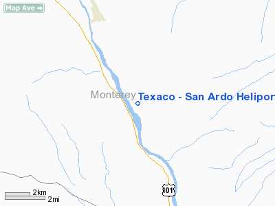
Texaco - San Ardo Heliport |
Location
& QuickFacts
|
FAA
Information Effective: |
2006-09-28 |
|
Airport
Identifier: |
5CA1 |
|
Longitude/Latitude: |
120-52-10.6480W/35-57-23.8750N
-120.869624/35.956632 (Estimated) |
|
Elevation: |
449 ft / 136.86 m (Estimated) |
|
Land: |
0 acres |
|
From
nearest city: |
4 nautical miles SS of San Ardo, CA |
|
Location: |
Monterey County, CA |
|
Magnetic Variation: |
15E (1985) |
Owner
& Manager
|
Ownership: |
Privately owned |
|
Owner: |
Texaco Exploration & Prod Inc |
|
Address: |
Star Route 42
San Ardo, CA 93450 |
|
Phone
number: |
408-627-2571 |
|
Manager: |
Robert A. Baumgartner |
|
Address: |
Star Route, Box 42
San Ardo, CA 92450 |
|
Phone number: |
408-627-3226 |
Airport
Operations and Facilities
|
Airport
Use: |
Private |
|
Wind
indicator: |
Yes |
|
Segmented
Circle: |
No |
|
Control
Tower: |
No |
|
Attendance
Schedule: |
UNATNDD |
|
Landing
fee charge: |
No |
|
Sectional
chart: |
Los Angeles |
|
Region: |
AWP - Western-Pacific |
|
Boundary
ARTCC: |
ZOA - Oakland |
|
Tie-in
FSS: |
HHR - Hawthorne |
|
FSS
on Airport: |
No |
|
FSS
Phone: |
310-970-0102 |
|
FSS
Toll Free: |
1-800-WX-BRIEF |
|
Runway Information
Helipad H1
|
Dimension: |
90 x 90 ft / 27.4 x 27.4 m |
|
Surface: |
ASPH-CONC, |
|
|
Runway H1 |
Runway |
|
Traffic
Pattern: |
Left |
Left |
|
Radio Navigation
Aids
|
ID |
Type |
Name |
Ch |
Freq |
Var |
Dist |
|
HGT |
NDB |
Hunter Liggett |
|
209.00 |
15E |
15.5 nm |
|
UAD |
NDB |
Chualar |
|
263.00 |
16E |
43.5 nm |
|
NLC |
TACAN |
Lemoore |
080X |
|
16E |
49.6 nm |
|
ROM |
VOR |
Priest |
|
110.00 |
16E |
14.9 nm |
|
PRB |
VORTAC |
Paso Robles |
090X |
114.30 |
16E |
20.8 nm |
|
BSR |
VORTAC |
Big Sur |
087X |
114.00 |
16E |
39.9 nm |
|
MQO |
VORTAC |
Morro Bay |
071X |
112.40 |
16E |
42.7 nm |
|
PXN |
VORTAC |
Panoche |
073X |
112.60 |
16E |
45.8 nm |
|
AVE |
VORTAC |
Avenal |
118X |
117.10 |
16E |
47.3 nm |
Remarks
Texaco - San Ardo Heliport
Address:
Monterey County, CA
Tel:
408-627-2571,
408-627-3226
Images
and information placed above are from
http://www.airport-data.com/airport/5CA1/
We
thank them for the data!
| General
Info |
| Country |
United
States |
| State |
CALIFORNIA
|
| FAA ID |
5CA1
|
| Latitude |
35-57-23.875N
|
| Longitude |
120-52-10.648W
|
| Elevation |
449 feet
|
| Near City |
SAN ARDO
|
We don't guarantee the information is fresh and accurate. The data may
be wrong or outdated.
For more up-to-date information please refer to other sources.
|
|


