 |
|
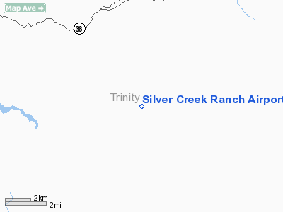
Silver Creek Ranch Airport |
Location
& QuickFacts
|
FAA
Information Effective: |
2006-09-28 |
|
Airport
Identifier: |
41CA |
|
Longitude/Latitude: |
123-15-14.0890W/40-19-03.5280N
-123.253914/40.317647 (Estimated) |
|
Elevation: |
2511 ft / 765.35 m (Estimated) |
|
Land: |
0 acres |
|
From
nearest city: |
5 nautical miles SE of Forest Glen, CA |
|
Location: |
Trinity County, CA |
|
Magnetic Variation: |
17E (1985) |
Owner
& Manager
|
Ownership: |
Privately owned |
|
Owner: |
Jan S Ostrat |
|
Address: |
2361 Morrison Lane
Suisun, CA 94585 |
|
Phone number: |
707-864-5656 |
|
Manager: |
Jan S Ostrat |
|
Address: |
2361 Morrison Lane
Suisun, CA 94585 |
|
Phone number: |
707-864-5656 |
Airport
Operations and Facilities
|
Airport
Use: |
Private |
|
Wind
indicator: |
Yes |
|
Segmented
Circle: |
No |
|
Control
Tower: |
No |
|
Attendance
Schedule: |
UNATNDD |
|
Landing
fee charge: |
No |
|
Sectional
chart: |
Klamath Falls |
|
Region: |
AWP - Western-Pacific |
|
Boundary
ARTCC: |
ZOA - Oakland |
|
Tie-in
FSS: |
RIU - Rancho Murieta |
|
FSS
on Airport: |
No |
|
FSS
Phone: |
916-354-0161 |
|
FSS
Toll Free: |
1-800-WX-BRIEF |
|
Runway Information
Runway 13/31
|
Dimension: |
1500 x 50 ft / 457.2 x 15.2 m |
|
Surface: |
TURF, |
|
|
Runway 13 |
Runway 31 |
|
Traffic
Pattern: |
Left |
Left |
|
Radio Navigation
Aids
|
ID |
Type |
Name |
Ch |
Freq |
Var |
Dist |
|
PBT |
NDB |
Proberta |
|
338.00 |
16E |
48.2 nm |
|
RDD |
VOR/DME |
Redding |
021X |
108.40 |
18E |
45.4 nm |
|
RBL |
VORTAC |
Red Bluff |
104X |
115.70 |
18E |
48.5 nm |
|
FOT |
VORTAC |
Fortuna |
087X |
114.00 |
19E |
49.6 nm |
Remarks
- CAUTION:
MOUNTAINS SURROUND ARPT; LAND RWY 13 DEPART RWY 31.
- VFR
PRIVATE USE.
Based Aircraft
|
Aircraft
based on field: |
1 |
|
Single
Engine Airplanes: |
1 |
Silver Creek Ranch Airport
Address:
Trinity County, CA
Tel:
707-864-5656
Images
and information placed above are from
http://www.airport-data.com/airport/41CA/
We
thank them for the data!
| General
Info |
| Country |
United
States |
| State |
CALIFORNIA
|
| FAA ID |
41CA
|
| Latitude |
40-19-03.528N
|
| Longitude |
123-15-14.089W
|
| Elevation |
2511 feet
|
| Near City |
FOREST
GLEN |
We don't guarantee the information is fresh and accurate. The data may
be wrong or outdated.
For more up-to-date information please refer to other sources.
|
|


