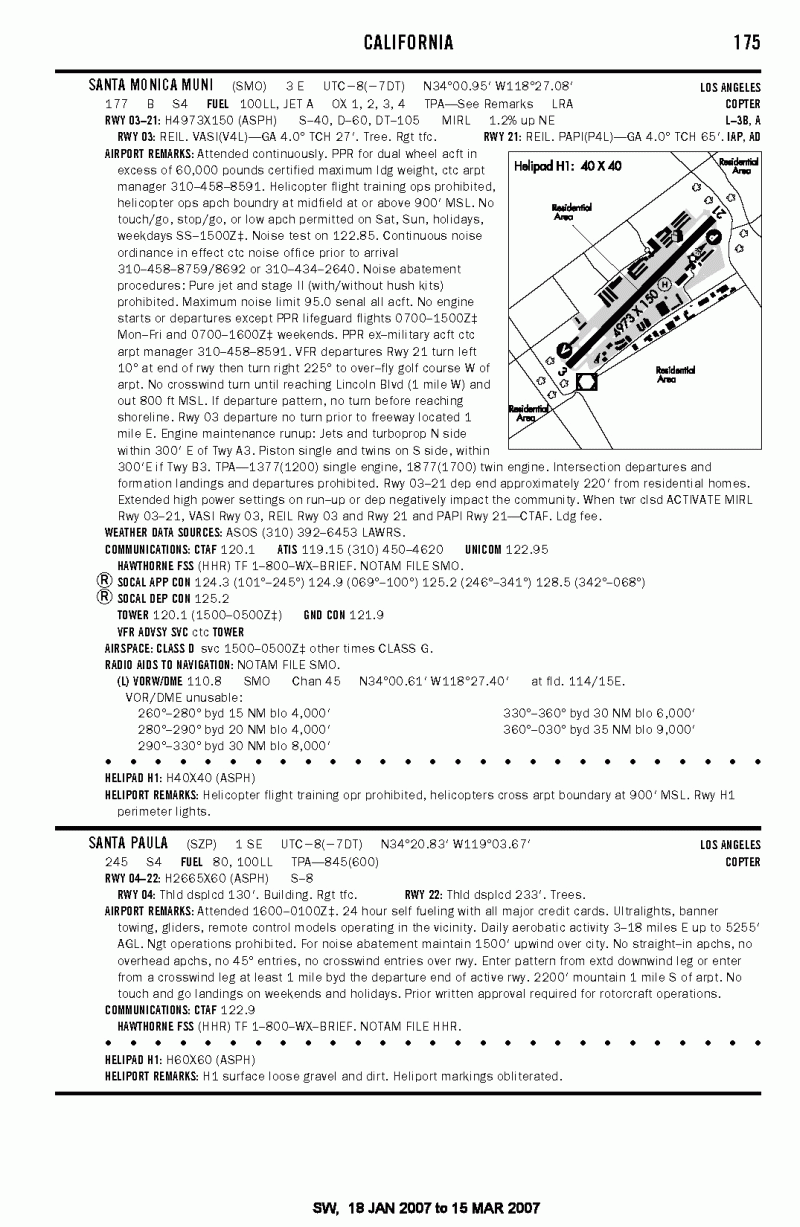
|
|
| Santa Paula Airport |
 |
| IATA: SZP – ICAO: KSZP – FAA LID: SZP |
| Summary |
| Airport type |
Public |
| Operator |
Santa Paula Airport Association |
| Location |
Santa Paula, California |
| Elevation AMSL |
245 ft / 74.7 m |
| Coordinates |
34°20′50″N 119°03′40″W / 34.34722°N 119.06111°W / 34.34722; -119.06111Coordinates: 34°20′50″N 119°03′40″W / 34.34722°N 119.06111°W / 34.34722; -119.06111 |
| Runways |
| Direction |
Length |
Surface |
| ft |
m |
| 4/22 |
2,650 |
808 |
Asphalt |
| Helipads |
| Number |
Length |
Surface |
| ft |
m |
| H1 |
60 |
18 |
Asphalt |
Santa Paula Airport (IATA: SZP, ICAO: KSZP, FAA LID: SZP) is a privately-owned public-use airport located one mile (2 km) southeast of the central business district (CBD) of Santa Paula, a city in Ventura County, California, USA. The airport has one runway and one helipad exclusively serving privately-operated general aviation aircraft with no scheduled commercial service. History
Santa Paula Airport was originally established in 1927 when a local rancher purchased an OX-5 and based it at the small dirt airstrip on his ranch. Not long after, a hangar was constructed, drawing more local aircraft owners to the airstrip. One year later the Santa Clara Valley flooded following the collapse of the St. Francis Dam, taking many lives and destroying acres of property along the Santa Clara River where the ranch was built. Recognizing an opportunity for an airport in the area, Ralph Dickenson and Dan Emmet obtained $1,000 from 19 local ranchers and purchased additional land adjacent to the river. In 1930, following two years of personal construction and development by these founders, the newly-named Santa Paula Airport opened to the public with a lavish celebration of aerobatics, celebrity appearances, and aircraft. This airport was also one of the favorite flying spots of actor Steven McQueen.
Airport today
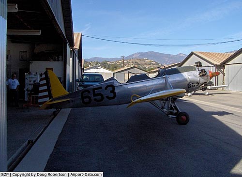
Today Santa Paula Airport is a non-towered facility handling approximately 97,000 arrivals and/or departures a year, and is home to over 259 individual aircraft. As of February 2007, no Fixed Base Operators are currently headquartered at the airfield.
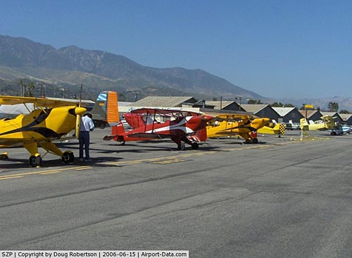
The airport today is smaller than local airports, primarily serving the local community and providing hangar space for pilots of nearby communities. Much of the original 1930’s-era facilities still exist and are used today, giving the airport a very authentic representation of the Golden Age of Aviation. As a result of the airport’s history and theme, many vintage aircraft owners have long sought hangar space at the airport’s limited facilities for use and display. Every first Sunday of the month, the airport comes alive with visitors. People put their airplanes on display with info cards on the propeller. The CP Aviation always sells Santa Paula souvenirs. Also, car clubs come in and there are always nice cars to look at. The Petersen Auto Museum has displayed their Ferrari collection there.
2005 flood disaster
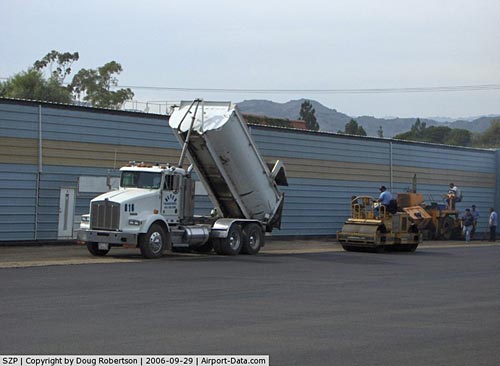
On February 21 and 22, 2005, Santa Paula Airport was heavily damaged when the rain swollen Santa Clara River ate into the airport property destroying airplane tiedowns, ramp and approximately 600 feet (180 m) of part of the western one-third of the runway. The airport’s only flight school CP Aviation moved to nearby Oxnard Airport as a result of the damage. CP Aviation has now moved back to Santa Paula as of 6/1/2007. Repairs began in March 2005 following the recession of floodwaters, and as of February 2007, the airport is again fully-open to the public.
Facilities
Santa Paula Airport covers 38 acres and has one runway and one helipad:
- Runway 4/22: 2,650 x 60 ft (808 x 18 m), Surface: Asphalt
- Helipad H1: 60 x 60 ft (18 x 18 m), Surface: Asphalt
- The Logsdon Cafe is a large restaurant adjacent the runway on the airport property.
- The Aviation Museum of Santa Paula is headquartered at the airport.
The above content comes from Wikipedia and is published under free licenses – click here to read more.
|
 |
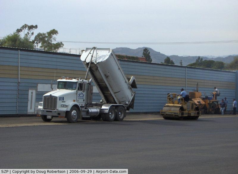
(Click on the photo to enlarge) |
|
 |
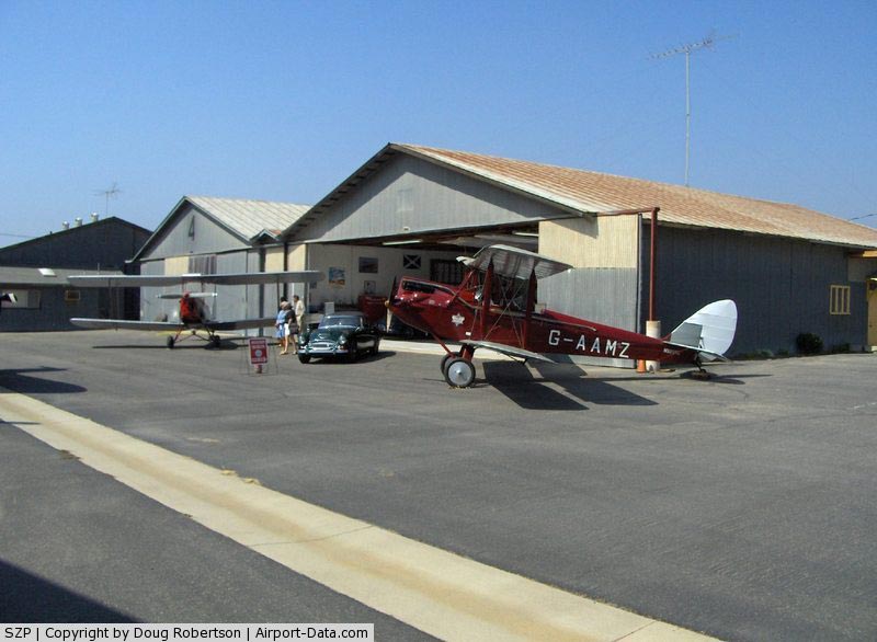
(Click on the photo to enlarge) |
|
 |
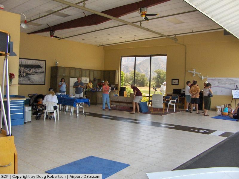
(Click on the photo to enlarge) |
|
 |
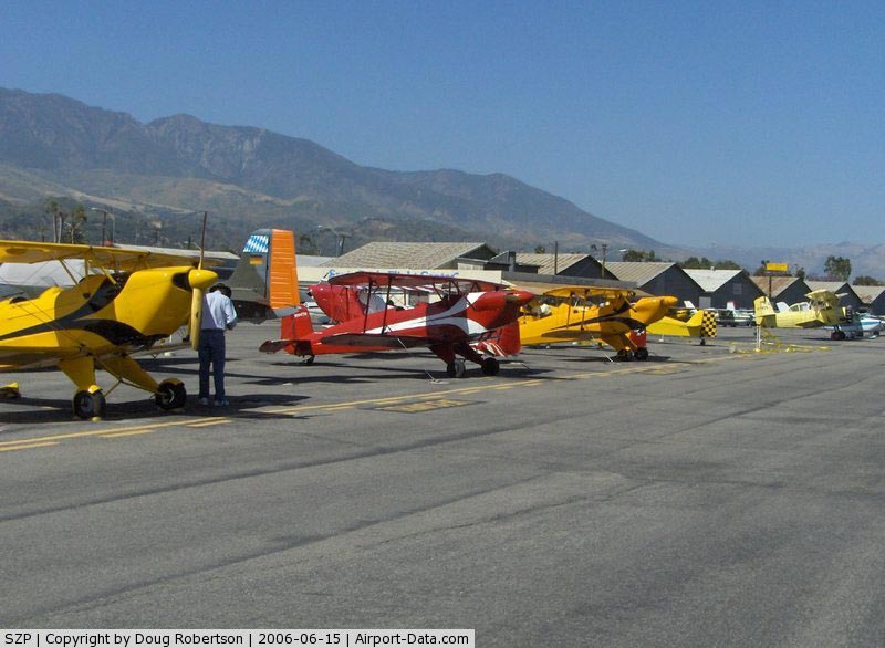
(Click on the photo to enlarge) |
|
 |
(Click on the photo to enlarge) |
|
 |
(Click on the photo to enlarge) |
|
 |
(Click on the photo to enlarge) |
Location
& QuickFacts
|
FAA
Information Effective: |
2006-09-28 |
|
Airport
Identifier: |
SZP |
|
Longitude/Latitude: |
119-03-40.3740W/34-20-49.9980N
-119.061215/34.347222 (Estimated) |
|
Elevation: |
245 ft / 74.68 m (Estimated) |
|
Land: |
38 acres |
|
From
nearest city: |
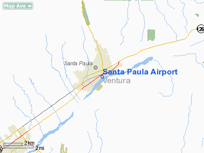
1 nautical miles SE of Santa Paula, CA |
|
Location: |
Ventura County, CA |
|
Magnetic Variation: |
14E (1985) |
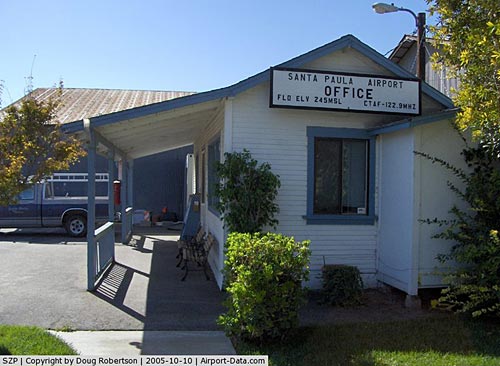
Owner
& Manager
|
Ownership: |
Privately owned |
|
Owner: |
Santa Paula Arpt Association |
|
Address: |
Po Box 308
Santa Paula, CA 93060 |
|
Phone
number: |
805-933-1155 |
|
Manager: |
Rowena Mason |
|
Address: |
28 Wright Taxi
Santa Paula, CA 93060 |
|
Phone number: |
805-933-1155 |
Airport
Operations and Facilities
|
Airport
Use: |
Open to public |
|
Wind
indicator: |
Yes |
|
Segmented
Circle: |
Yes |
|
Control
Tower: |
No |
|
Attendance
Schedule: |
ALL/ALL/0800-1700 |
|
Landing
fee charge: |
No |
|
Sectional
chart: |
Los Angeles |
|
Region: |
AWP - Western-Pacific |
|
Traffic
Pattern Alt: |
600 ft |
|
Boundary
ARTCC: |
ZLA - Los Angeles |
|
Tie-in
FSS: |
HHR - Hawthorne |
|
FSS
on Airport: |
No |
|
FSS
Phone: |
310-970-0102 |
|
FSS
Toll Free: |
1-800-WX-BRIEF |
|
NOTAMs
Facility: |
HHR (NOTAM-d service avaliable) |
|
Federal Agreements: |
N |
Airport
Communications
Airport
Services
|
Fuel
available: |
100LL80
24 HR SELF-FUELING AVBL WITH ALL MAJOR CREDIT CARDS. |
|
Airframe
Repair: |
MAJOR |
|
Power
Plant Repair: |
MAJOR |
|
Bottled
Oxygen: |
NONE |
|
Bulk
Oxygen: |
NONE |
|
Runway Information
Runway 04/22
|
Dimension: |
2650 x 60 ft / 807.7 x 18.3 m |
|
Surface: |
ASPH, Good Condition
LOOSE GRAVEL AND DIRT. |
|
|
Runway 04 |
Runway 22 |
|
Traffic
Pattern: |
Right |
Left |
|
Markings: |
Basic, Good Condition |
Basic, Good Condition |
|
Displaced
threshold: |
130.00 ft |
233.00 ft |
|
Runway
End Identifier: |
No |
No |
|
Centerline
Lights: |
No |
No |
|
Touchdown
Lights: |
No |
No |
|
Obstruction: |
15 ft bldg, 400.0 ft from runway, 50 ft left
of centerline, 13:1 slope to clear
APCH RATIO 33:1 FROM DSPLCD THLD; APCH RATIO 28:1 FROM DSPLCD
THLD DUE TO +30 FT POLE 840 FT FROM DSPLCD AND 100 FT LEFT. |
65 ft trees, 1400.0 ft from runway, 60 ft right
of centerline, 18:1 slope to clear
APCH RATIO 25:1 TO DSPLCD THR; APCH RATIO TO DSPLCD THR OVER
+15 FT BLDG 150 FT FM DSPLCD THR 135 FT R 10:1.
+8 FT BLDG 55 FT FM RY END; +9 FT BUSHES 130-200 FT FM EOR
60 FT RIGHT. |
|
Helipad H1
|
Dimension: |
60 x 60 ft / 18.3 x 18.3 m |
|
Surface: |
ASPH, Poor Condition
LOOSE GRAVEL AND DIRT. |
|
|
Runway H1 |
Runway |
|
Traffic
Pattern: |
Left |
Left |
|
Markings: |
Basic, Poor Condition
HELIPORT MARKINGS OBLITERATED. |
,
HELIPORT MARKINGS OBLITERATED. |
|
Radio Navigation
Aids
|
ID |
Type |
Name |
Ch |
Freq |
Var |
Dist |
|
PAI |
NDB |
Pacoima |
|
370.00 |
15E |
32.6 nm |
|
GWF |
NDB |
Gen William J Fox |
|
282.00 |
15E |
48.0 nm |
|
CPM |
NDB |
Compton |
|
378.00 |
15E |
49.0 nm |
|
NTD |
TACAN |
Point Mugu |
043X |
|
15E |
13.8 nm |
|
CMA |
VOR/DME |
Camarillo |
105X |
115.80 |
15E |
8.3 nm |
|
VTU |
VOR/DME |
Ventura |
019X |
108.20 |
15E |
14.0 nm |
|
VNY |
VOR/DME |
Van Nuys |
078X |
113.10 |
15E |
29.2 nm |
|
SMO |
VOR/DME |
Santa Monica |
045X |
110.80 |
15E |
36.2 nm |
|
FIM |
VORTAC |
Fillmore |
072X |
112.50 |
15E |
8.9 nm |
|
GMN |
VORTAC |
Gorman |
108X |
116.10 |
16E |
29.2 nm |
|
LHS |
VORTAC |
Lake Hughes |
021X |
108.40 |
15E |
31.3 nm |
|
RZS |
VORTAC |
San Marcus |
096X |
114.90 |
14E |
36.5 nm |
|
LAX |
VORTAC |
Los Angeles |
083X |
113.60 |
15E |
40.0 nm |
Remarks
-
< OVER
MSL 1500 LEAST AT MAINT ABATEMEMT NOISE>
- ULTRALIGHTS;
BANNER TOWING; GLIDERS; RC MODELS OPER IN THE VICINITY.
- DAILY
AEROBATIC ACTIVITY 3-18 MILES EAST UP TO 5,255 FT AGL.
- NO
TOUCH & GO LANDINGS ON WEEKENDS & HOLIDAYS.
- NIGHT
OPNS PROHIBITED.
- STRAIGHT-IN
APCHS NOT AUTHORIZED.
- PRIOR
WRITTEN APVL RQRD FOR ROTORCRAFT OPS.
- 2200
FT MOUNTAIN ONE MILE SOUTH OF ARPT; FOR NOISE ABATEMENT MAINTAIN 1500
FT UPWIND OVER CITY.
- +4
FT SIGN & +2 FT WALL IN PRIMARY SFC AT NE END OF ARPT.
- NO
STRAIGHT-IN APCHS; NO OVERHEAD APCHS; NO 45 DEG ENTRIES; NO CROSSWIND
ENTRIES OVER RY.
- ENTER
PAT FM EXTDD DOWNWIND LEG OR ENTER FM A CROSSWIND LEG AT LEAST 1 MILE
BYD THE DEP END OF ACTIVE RY.
- ESTBD
BEFORE 5/15/59.
Based Aircraft
|
Aircraft
based on field: |
259 |
|
Single
Engine Airplanes: |
248 |
|
Multi
Engine Airplanes: |
6 |
|
Helicopters: |
1 |
|
Gliders: |
2 |
|
Ultralights: |
2 |
Operational Statistics
|
Aircraft
Operations: |
266/Day |
|
General
Aviation Local: |
75.0% |
|
General
Aviation Itinerant: |
25.0% |
Santa Paula Airport
Address:
Ventura County, CA
Tel:
805-933-1155
Images
and information placed above are from
http://www.airport-data.com/airport/SZP/
We
thank them for the data!
| General
Info |
| Country |
United
States |
| State |
CALIFORNIA
|
| FAA ID |
SZP
|
| Latitude |
34-20-49.998N
|
| Longitude |
119-03-40.374W
|
| Elevation |
245 feet
|
| Near City |
SANTA
PAULA |
We don't guarantee the information is fresh and accurate. The data may
be wrong or outdated.
For more up-to-date information please refer to other sources.
|
|