 |
|
|
|
|
|
Location
& QuickFacts
|
FAA
Information Effective: |
2006-09-28 |
|
Airport
Identifier: |
CA31 |
|
Longitude/Latitude: |
119-33-16.4750W/36-43-55.8210N
-119.554576/36.732172 (Estimated) |
|
Elevation: |
374 ft / 114.00 m (Estimated) |
|
Land: |
5 acres |
|
From
nearest city: |
2 nautical miles N of Sanger, CA |
|
Location: |
Fresno County, CA |
|
Magnetic Variation: |
15E (1985) |
Owner
& Manager
|
Ownership: |
Publicly owned |
|
Owner: |
Ca. Dept. Forestry |
|
Address: |
210 S. Academy Ave
Sanger, CA 93657 |
|
Phone
number: |
209-485-7500 |
|
Manager: |
Steve Hubbard |
|
Address: |
210 S Academy Ave
Sanger, CA 93657 |
|
Phone number: |
209-485-7500 |
Airport
Operations and Facilities
|
Airport
Use: |
Private |
|
Wind
indicator: |
Yes |
|
Segmented
Circle: |
No |
|
Control
Tower: |
No |
|
Attendance
Schedule: |
ALL/ALL/ALL |
|
Lighting
Schedule: |
RDO REQ
FOR PERIMETER LGTS CTC FORESTRY RANGER ON FREQ 151.385 OR
154.445. |
|
Landing fee charge: |
No |
|
Sectional chart: |
San Francisco |
|
Region: |
AWP - Western-Pacific |
|
Boundary ARTCC: |
ZOA - Oakland |
|
Tie-in FSS: |
RIU - Rancho Murieta |
|
FSS on Airport: |
No |
|
FSS Phone: |
916-354-0161 |
|
FSS Toll Free: |
1-800-WX-BRIEF |
Airport
Services
|
Airframe
Repair: |
NONE |
|
Power
Plant Repair: |
NONE |
|
Runway Information
Helipad H1
|
Dimension: |
25
x 25 ft / 7.6 x 7.6 m |
|
Surface: |
CONC, Good Condition |
|
|
Runway H1 |
Runway |
|
Traffic
Pattern: |
Left |
Left |
|
Radio Navigation
Aids
|
ID |
Type |
Name |
Ch |
Freq |
Var |
Dist |
|
CUK |
NDB |
Academy |
|
266.00 |
14E |
3.9 nm |
|
FCH |
NDB |
Chandler |
|
344.00 |
15E |
13.5 nm |
|
COR |
NDB |
Salyer Farms |
|
205.00 |
16E |
40.1 nm |
|
NLC |
TACAN |
Lemoore |
080X |
|
16E |
30.7 nm |
|
VIS |
VOR/DME |
Visalia |
031X |
109.40 |
16E |
22.2 nm |
|
CZQ |
VORTAC |
Clovis |
076X |
112.90 |
15E |
15.5 nm |
|
FRA |
VORTAC |
Friant |
103X |
115.60 |
17E |
22.5 nm |
Remarks
- AREA
250 DEG TO 360 DEG MAG NOT USABLE DUE TO TREES, BLDGS AND RDO TWR.
- APCH/DEP
FM 0-250 DEG.
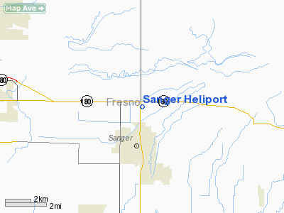
Sanger Heliport
Address:
Fresno County, CA
Tel:
209-485-7500
Images
and information placed above are from
http://www.airport-data.com/airport/CA31/
We
thank them for the data!
| General
Info |
| Country |
United
States |
| State |
CALIFORNIA
|
| FAA ID |
CA31
|
| Latitude |
36-43-55.821N
|
| Longitude |
119-33-16.475W
|
| Elevation |
374 feet
|
| Near City |
SANGER
|
We don't guarantee the information is fresh and accurate. The data may
be wrong or outdated.
For more up-to-date information please refer to other sources.
|
|


