 |
|
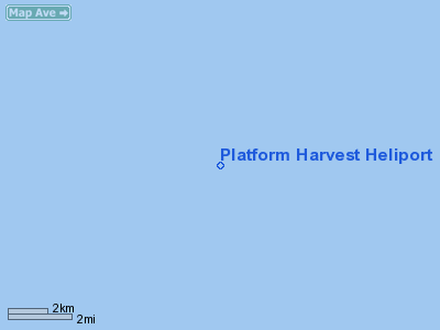
Platform Harvest Heliport |
Location
& QuickFacts
|
FAA
Information Effective: |
2006-09-28 |
|
Airport
Identifier: |
CL68 |
|
Longitude/Latitude: |
120-40-54.6150W/34-28-08.9520N
-120.681838/34.469153 (Estimated) |
|
Elevation: |
178 ft / 54.25 m (Estimated) |
|
Land: |
0 acres |
|
From
nearest city: |
15 nautical miles SW of Lompoc, CA |
|
Location: |
Santa Barbara County, CA |
|
Magnetic Variation: |
14E (1980) |
Owner
& Manager
|
Ownership: |
Privately owned |
|
Owner: |
Arguello Inc. |
|
Address: |
17100 Calle Mariposa Reina
Goleta, CA 93117 |
|
Manager: |
David Rose |
|
Address: |
Torch Operating Company, 201 S. Broadway
Orcutt, CA 93455 |
|
Phone number: |
805-934-8221 |
Airport
Operations and Facilities
|
Airport
Use: |
Private |
|
Wind
indicator: |
Yes |
|
Segmented
Circle: |
No |
|
Control
Tower: |
No |
|
Attendance
Schedule: |
ALL/ALL/ALL |
|
Lighting
Schedule: |
DUSK-DAWN |
|
Sectional
chart: |
Los Angeles |
|
Region: |
AWP - Western-Pacific |
|
Boundary
ARTCC: |
ZLA - Los Angeles |
|
Tie-in
FSS: |
HHR - Hawthorne |
|
FSS
Phone: |
310-970-0102 |
|
FSS
Toll Free: |
1-800-WX-BRIEF |
|
Runway Information
Helipad H1
|
Dimension: |
65 x 60 ft / 19.8 x 18.3 m |
|
Surface: |
MATS, |
|
|
Runway H1 |
Runway |
|
Traffic
Pattern: |
Left |
Left |
|
Radio Navigation
Aids
|
ID |
Type |
Name |
Ch |
Freq |
Var |
Dist |
|
VBG |
TACAN |
Vandenberg |
059Y |
|
15E |
16.6 nm |
|
GLJ |
VOR |
Guadalupe |
|
111.00 |
16E |
30.1 nm |
|
GVO |
VORTAC |
Gaviota |
085X |
113.80 |
16E |
29.5 nm |
|
RZS |
VORTAC |
San Marcus |
096X |
114.90 |
14E |
45.2 nm |
|
MQO |
VORTAC |
Morro Bay |
071X |
112.40 |
16E |
47.2 nm |
Remarks
- (E3A)
ADDNL PHONE NR TO HHR FSS 1-WX-BRIEF.
- VFR,
PRIVATE USE ONLY.
Platform Harvest Heliport
Address:
Santa Barbara County, CA
Tel:
805-934-8221
Images
and information placed above are from
http://www.airport-data.com/airport/CL68/
We
thank them for the data!
| General
Info |
| Country |
United
States |
| State |
CALIFORNIA
|
| FAA ID |
CL68
|
| Latitude |
34-28-08.952N
|
| Longitude |
120-40-54.615W
|
| Elevation |
178 feet
|
| Near City |
LOMPOC
|
We don't guarantee the information is fresh and accurate. The data may
be wrong or outdated.
For more up-to-date information please refer to other sources.
|
|


