 |
|
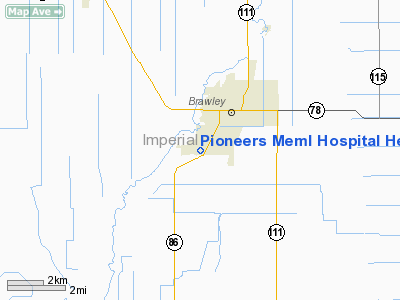
Pioneers Memorial Hospital Heliport |
Location
& QuickFacts
|
FAA
Information Effective: |
2006-09-28 |
|
Airport
Identifier: |
9CA2 |
|
Longitude/Latitude: |
115-33-17.9680W/32-57-30.1690N
-115.554991/32.958380 (Estimated) |
|
Elevation: |
-99 ft / -30.18 m (Estimated) |
|
Land: |
0 acres |
|
From
nearest city: |
1 nautical miles SW of Brawley, CA |
|
Location: |
Imperial County, CA |
|
Magnetic Variation: |
13E (1985) |
Owner
& Manager
|
Ownership: |
Privately owned |
|
Owner: |
Pioneers Meml Hospital |
|
Address: |
207 W Legion Rd
Brawley, CA 92227 |
|
Phone
number: |
714-344-2120 |
|
Manager: |
Delvin E. Yarnall |
|
Address: |
207 W. Legion Rd
Brawley, CA 92227 |
|
Phone number: |
619-344-2120 |
Airport
Operations and Facilities
|
Airport
Use: |
Private
MEDICAL. |
|
Wind
indicator: |
Yes |
|
Segmented
Circle: |
No |
|
Control
Tower: |
No |
|
Attendance
Schedule: |
ALL/ALL/ALL |
|
Landing
fee charge: |
No |
|
Sectional
chart: |
Phoenix |
|
Region: |
AWP - Western-Pacific |
|
Boundary
ARTCC: |
ZLA - Los Angeles |
|
Tie-in
FSS: |
SAN - San Diego |
|
FSS
on Airport: |
No |
|
FSS
Phone: |
858-277-7043 |
|
FSS
Toll Free: |
1-800-WX-BRIEF |
|
Runway Information
Helipad H1
|
Dimension: |
50
x 50 ft / 15.2 x 15.2 m
HELIPAD IS CIRCULAR IN SHAPE. |
|
Surface: |
CONC, |
|
|
Runway H1 |
Runway |
|
Traffic
Pattern: |
Left |
Left |
|
Radio Navigation
Aids
|
ID |
Type |
Name |
Ch |
Freq |
Var |
Dist |
|
NJK |
TACAN |
El Centro |
047X |
|
13E |
9.9 nm |
|
MXL |
VOR/DME |
Mexicali |
097X |
115.00 |
14E |
26.1 nm |
|
IPL |
VORTAC |
Imperial |
106X |
115.90 |
14E |
12.8 nm |
|
BZA |
VORTAC |
Bard |
115X |
116.80 |
14E |
49.4 nm |
Remarks
- VFR;
PRVDD EXISTING PLINES AT NORTH SIDE OF HOSPITALS ARE OBSTN MKD. PLINES
& TREES SHOULD ALSO BE OBSTN LGTD IF NIGHT OPNS ARE CONDUCTED.
Pioneers Meml Hospital Heliport
Address:
Imperial County, CA
Tel:
714-344-2120
Images
and information placed above are from
http://www.airport-data.com/airport/9CA2/
We
thank them for the data!
| General
Info |
| Country |
United
States |
| State |
CALIFORNIA
|
| FAA ID |
9CA2
|
| Latitude |
32-57-30.169N
|
| Longitude |
115-33-17.968W
|
| Elevation |
-99 feet
|
| Near City |
BRAWLEY
|
We don't guarantee the information is fresh and accurate. The data may
be wrong or outdated.
For more up-to-date information please refer to other sources.
|
|


