 |
|
Location
& QuickFacts
|
FAA
Information Effective: |
2006-09-28 |
|
Airport
Identifier: |
93CL |
|
Longitude/Latitude: |
119-49-31.5320W/36-50-51.8140N
-119.825426/36.847726 (Estimated) |
|
Elevation: |
328 ft / 99.97 m (Estimated) |
|
Land: |
0 acres |
|
From
nearest city: |
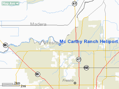
1 nautical miles W of Pinedale, CA |
|
Location: |
Fresno County, CA |
|
Magnetic Variation: |
15E (1985) |
Owner
& Manager
|
Ownership: |
Privately owned |
|
Owner: |
Mc Carthy Land Co |
|
Address: |
6715 N Palm Ave 201
Fresno, CA 93704-1073 |
|
Phone number: |
209-445-2600 |
|
Manager: |
Jerry W. Popplewell |
|
Address: |
1111 Van Ness
Fresno, CA 93721 |
|
Phone number: |
209-445-2600 |
Airport
Operations and Facilities
|
Airport
Use: |
Private |
|
Wind
indicator: |
No |
|
Segmented
Circle: |
No |
|
Control
Tower: |
No |
|
Attendance
Schedule: |
UNATNDD |
|
Sectional
chart: |
San Francisco |
|
Region: |
AWP - Western-Pacific |
|
Boundary
ARTCC: |
ZOA - Oakland |
|
Tie-in
FSS: |
RIU - Rancho Murieta |
|
FSS
on Airport: |
No |
|
FSS
Phone: |
916-354-0161 |
|
FSS
Toll Free: |
1-800-WX-BRIEF |
|
Runway Information
Helipad H1
|
Dimension: |
75 x 75 ft / 22.9 x 22.9 m |
|
Surface: |
TURF, |
|
|
Runway H1 |
Runway |
|
Traffic
Pattern: |
Left |
Left |
|
Radio Navigation
Aids
|
ID |
Type |
Name |
Ch |
Freq |
Var |
Dist |
|
FCH |
NDB |
Chandler |
|
344.00 |
15E |
7.5 nm |
|
CUK |
NDB |
Academy |
|
266.00 |
14E |
11.5 nm |
|
COR |
NDB |
Salyer Farms |
|
205.00 |
16E |
49.0 nm |
|
NLC |
TACAN |
Lemoore |
080X |
|
16E |
31.0 nm |
|
VIS |
VOR/DME |
Visalia |
031X |
109.40 |
16E |
33.3 nm |
|
HYP |
VOR/DME |
El Nido |
089X |
114.20 |
15E |
35.5 nm |
|
CZQ |
VORTAC |
Clovis |
076X |
112.90 |
15E |
2.3 nm |
|
FRA |
VORTAC |
Friant |
103X |
115.60 |
17E |
19.0 nm |
|
PXN |
VORTAC |
Panoche |
073X |
112.60 |
16E |
46.6 nm |
Remarks
Mc Carthy Ranch Heliport
Address:
Fresno County, CA
Tel:
209-445-2600
Images
and information placed above are from
http://www.airport-data.com/airport/93CL/
We
thank them for the data!
| General
Info |
| Country |
United
States |
| State |
CALIFORNIA
|
| FAA ID |
93CL
|
| Latitude |
36-50-51.814N
|
| Longitude |
119-49-31.532W
|
| Elevation |
328 feet
|
| Near City |
PINEDALE
|
We don't guarantee the information is fresh and accurate. The data may
be wrong or outdated.
For more up-to-date information please refer to other sources.
|
|


