 |
|
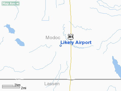
Location
& QuickFacts
|
FAA
Information Effective: |
2006-09-28 |
|
Airport
Identifier: |
9CL3 |
|
Longitude/Latitude: |
120-31-33.8320W/41-14-24.6210N
-120.526064/41.240173 (Estimated) |
|
Elevation: |
4420 ft / 1347.22 m (Estimated) |
|
Land: |
10 acres |
|
From
nearest city: |
2 nautical miles NW of Likely, CA |
|
Location: |
Modoc County, CA |
|
Magnetic Variation: |
17E (1985) |
Owner
& Manager
|
Ownership: |
Privately owned |
|
Address: |
|
|
Manager: |
John W Flournoy |
|
Address: |
P O Box 96
Likely, CA 96116 |
|
Phone number: |
916-233-4751 |
Airport
Operations and Facilities
|
Airport Use: |
Private |
|
Wind indicator: |
Yes |
|
Segmented Circle: |
No |
|
Control Tower: |
No |
|
Attendance Schedule: |
UNATNDD |
|
Landing fee charge: |
No |
|
Sectional chart: |
Klamath Falls |
|
Region: |
AWP - Western-Pacific |
|
Boundary ARTCC: |
ZSE - Seattle |
|
Tie-in FSS: |
RNO - Reno |
|
FSS on Airport: |
No |
|
FSS Phone: |
775-858-1300 |
|
FSS Toll Free: |
1-800-WX-BRIEF |
Airport
Services
|
Airframe
Repair: |
NONE |
|
Power
Plant Repair: |
NONE |
|
Runway Information
Runway 06/24
|
Dimension: |
1960 x 50 ft / 597.4 x 15.2 m |
|
Surface: |
GRAVEL, |
|
|
Runway 06 |
Runway 24 |
|
Traffic
Pattern: |
Left |
Left |
|
Radio Navigation
Aids
|
ID |
Type |
Name |
Ch |
Freq |
Var |
Dist |
|
ARU |
NDB |
Alturas |
|
215.00 |
18E |
14.0 nm |
Remarks
Likely Airport
Address:
Modoc County, CA
Tel:
916-233-4751
Images
and information placed above are from
http://www.airport-data.com/airport/9CL3/
We
thank them for the data!
| General
Info |
| Country |
United
States |
| State |
CALIFORNIA
|
| FAA ID |
9CL3
|
| Latitude |
41-14-24.621N
|
| Longitude |
120-31-33.832W
|
| Elevation |
4420 feet
|
| Near City |
LIKELY
|
We don't guarantee the information is fresh and accurate. The data may
be wrong or outdated.
For more up-to-date information please refer to other sources.
|
|


