 |
|
|
|
|
|
Location
& QuickFacts
|
FAA
Information Effective: |
2006-09-28 |
|
Airport
Identifier: |
58CN |
|
Longitude/Latitude: |
120-33-57.7620W/39-27-44.6440N
-120.566045/39.462401 (Estimated) |
|
Elevation: |
6650 ft / 2026.92 m (Estimated) |
|
Land: |
0 acres |
|
From
nearest city: |
0 nautical miles W of Jackson Lake, CA |
|
Location: |
Nevada County, CA |
|
Magnetic Variation: |
16E (1985) |
Owner
& Manager
|
Ownership: |
Privately owned |
|
Owner: |
English Mountain Ranch |
|
Address: |
Box 950
Grass Valley, CA 95945 |
|
Phone
number: |
530-273-6176 |
|
Manager: |
Charles Litton, President |
|
Address: |
English Mtn Ranch, Box 950
Grass Valley, CA 95945 |
|
Phone number: |
530-273-6176 |
Airport
Operations and Facilities
|
Airport Use: |
Private |
|
Wind indicator: |
No |
|
Segmented Circle: |
No |
|
Control Tower: |
No |
|
Attendance Schedule: |
UNATNDD |
|
Landing fee charge: |
No |
|
Sectional chart: |
San Francisco |
|
Region: |
AWP - Western-Pacific |
|
Boundary ARTCC: |
ZOA - Oakland |
|
Tie-in FSS: |
RIU - Rancho Murieta |
|
FSS on Airport: |
No |
|
FSS Phone: |
916-354-0161 |
|
FSS Toll Free: |
1-800-WX-BRIEF |
Airport
Services
|
Airframe
Repair: |
NONE |
|
Power
Plant Repair: |
NONE |
|
Runway Information
Helipad H1
|
Dimension: |
100 x 60 ft / 30.5 x 18.3 m |
|
Surface: |
TURF, |
|
|
Runway H1 |
Runway |
|
Elevation: |
6650.00 ft |
0.00
ft |
|
Traffic
Pattern: |
Left |
Left |
|
Radio Navigation
Aids
|
ID |
Type |
Name |
Ch |
Freq |
Var |
Dist |
|
OVE |
NDB |
Oroville |
|
212.00 |
16E |
49.0 nm |
|
BAB |
TACAN |
Beale |
023X |
|
16E |
45.2 nm |
|
SWR |
VOR/DME |
Squaw Valley |
079X |
113.20 |
16E |
21.9 nm |
|
HNW |
VOR/DME |
Hangtown |
102X |
115.50 |
17E |
45.2 nm |
|
FMG |
VORTAC |
Mustang |
126X |
117.90 |
16E |
42.4 nm |
Remarks
- ESTABD
4/28/61. PRIOR NOTICE NOT RQRD. 15 MI FM SIERRAVILLE-DEARWATER ARPT.
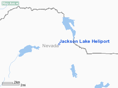
Jackson Lake Heliport
Address:
Nevada County, CA
Tel:
530-273-6176
Images
and information placed above are from
http://www.airport-data.com/airport/58CN/
We
thank them for the data!
| General
Info |
| Country |
United
States |
| State |
CALIFORNIA
|
| FAA ID |
58CN
|
| Latitude |
39-27-44.644N
|
| Longitude |
120-33-57.762W
|
| Elevation |
6650 feet
|
| Near City |
JACKSON
LAKE |
We don't guarantee the information is fresh and accurate. The data may
be wrong or outdated.
For more up-to-date information please refer to other sources.
|
|


