 |
|
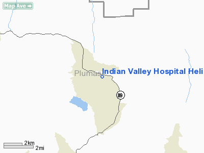
Indian Valley Hospital Heliport |
Location
& QuickFacts
|
FAA
Information Effective: |
2006-09-28 |
|
Airport
Identifier: |
30CA |
|
Longitude/Latitude: |
120-55-48.8410W/40-07-59.6060N
-120.930234/40.133224 (Estimated) |
|
Elevation: |
3482 ft / 1061.31 m (Estimated) |
|
Land: |
0 acres |
|
From
nearest city: |
0 nautical miles E of Greenville, CA |
|
Location: |
Plumas County, CA |
|
Magnetic Variation: |
17E (1985) |
Owner
& Manager
|
Ownership: |
Publicly owned |
|
Owner: |
Indian Valley Hosp. Dist. |
|
Address: |
174 Hot Springs Rd.
Greenville, CA 95947 |
|
Phone
number: |
916-284-7191 |
|
Manager: |
Alan G Macphee |
|
Address: |
174 Hot Springs Rd.
Greenville, CA 95947 |
|
Phone number: |
916-284-7191 |
Airport
Operations and Facilities
|
Airport
Use: |
Private
MEDICAL. |
|
Wind
indicator: |
Yes |
|
Segmented
Circle: |
No |
|
Control
Tower: |
No |
|
Attendance
Schedule: |
UNATNDD |
|
Landing
fee charge: |
No |
|
Sectional
chart: |
Klamath Falls |
|
Region: |
AWP - Western-Pacific |
|
Boundary
ARTCC: |
ZOA - Oakland |
|
Tie-in
FSS: |
RIU - Rancho Murieta |
|
FSS
on Airport: |
No |
|
FSS
Phone: |
916-354-0161 |
|
FSS
Toll Free: |
1-800-WX-BRIEF |
|
Runway Information
Helipad H1
|
Dimension: |
125 x 120 ft / 38.1 x 36.6 m |
|
Surface: |
TURF, |
|
|
Runway H1 |
Runway |
|
Traffic
Pattern: |
Left |
Left |
|
Radio Navigation
Aids
|
ID |
Type |
Name |
Ch |
Freq |
Var |
Dist |
|
OVE |
NDB |
Oroville |
|
212.00 |
16E |
49.9 nm |
|
AHC |
VOR/DME |
Amedee |
027X |
109.00 |
17E |
36.6 nm |
|
CIC |
VOR/DME |
Chico |
035X |
109.80 |
16E |
47.0 nm |
Remarks
- CONDITIONAL--VFR;
PVT USE.
Indian Valley Hospital Heliport
Address:
Plumas County, CA
Tel:
916-284-7191
Images
and information placed above are from
http://www.airport-data.com/airport/30CA/
We
thank them for the data!
| General
Info |
| Country |
United
States |
| State |
CALIFORNIA
|
| FAA ID |
30CA
|
| Latitude |
40-07-59.606N
|
| Longitude |
120-55-48.841W
|
| Elevation |
3482 feet
|
| Near City |
GREENVILLE
|
We don't guarantee the information is fresh and accurate. The data may
be wrong or outdated.
For more up-to-date information please refer to other sources.
|
|


