 |
|
|
|
|
|
Location
& QuickFacts
|
FAA
Information Effective: |
2006-06-08 |
|
Airport
Identifier: |
45CN |
|
Longitude/Latitude: |
120-11-36.6770W/37-52-48.7340N
-120.193521/37.880204 (Estimated) |
|
Elevation: |
2700 ft / 822.96 m (Estimated) |
|
Land: |
120 acres |
|
From
nearest city: |
3 nautical miles NE of Groveland, CA |
|
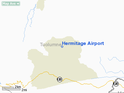
Location: |
Tuolumne County, CA |
|
Magnetic Variation: |
16E (1985) |
Owner
& Manager
|
Ownership: |
Privately owned |
|
Owner: |
Kenneth L. Wagner |
|
Address: |
P.o. Box 1301
Groveland, CA 95321 |
|
Phone
number: |
209-962-4069 |
|
Manager: |
Kenneth L. Wagner |
|
Address: |
P.o. Box 1301
Groveland, CA 95321 |
|
Phone number: |
209-962-4069 |
Airport
Operations and Facilities
|
Airport Use: |
Private |
|
Wind indicator: |
No |
|
Segmented Circle: |
No |
|
Control Tower: |
No |
|
Attendance Schedule: |
UNATNDD |
|
Landing fee charge: |
No |
|
Sectional chart: |
San Francisco |
|
Region: |
AWP - Western-Pacific |
|
Boundary ARTCC: |
ZOA - Oakland |
|
Tie-in FSS: |
RIU - Rancho Murieta |
|
FSS on Airport: |
No |
|
FSS Phone: |
916-354-0161 |
|
FSS Toll Free: |
1-800-WX-BRIEF |
Airport
Services
|
Airframe
Repair: |
NONE |
|
Power
Plant Repair: |
NONE |
|
Bottled
Oxygen: |
NONE |
|
Bulk
Oxygen: |
NONE |
|
Runway Information
Runway 09/27
|
Dimension: |
2700 x 60 ft / 823.0 x 18.3 m |
|
Surface: |
DIRT-TURF, |
|
|
Runway 09 |
Runway 27 |
|
Traffic
Pattern: |
Left |
Left |
|
Radio Navigation
Aids
|
ID |
Type |
Name |
Ch |
Freq |
Var |
Dist |
|
MOD |
VOR/DME |
Modesto |
093X |
114.60 |
17E |
39.4 nm |
|
HYP |
VOR/DME |
El Nido |
089X |
114.20 |
15E |
40.9 nm |
|
LIN |
VORTAC |
Linden |
095X |
114.80 |
17E |
40.1 nm |
|
ECA |
VORTAC |
Manteca |
107X |
116.00 |
17E |
46.5 nm |
Remarks
Hermitage Airport
Address:
Tuolumne County, CA
Tel:
209-962-4069
Images
and information placed above are from
http://www.airport-data.com/airport/45CN/
We
thank them for the data!
| General
Info |
| Country |
United
States |
| State |
CALIFORNIA
|
| FAA ID |
45CN
|
| Latitude |
37-52-48.734N
|
| Longitude |
120-11-36.677W
|
| Elevation |
2700 feet
|
| Near City |
GROVELAND
|
We don't guarantee the information is fresh and accurate. The data may
be wrong or outdated.
For more up-to-date information please refer to other sources.
|
|


