 |
|
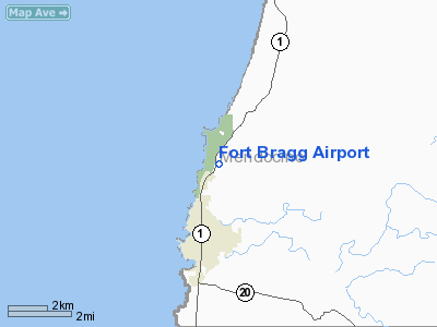
Location
& QuickFacts
|
FAA
Information Effective: |
2006-06-08 |
|
Airport
Identifier: |
82CL |
|
Longitude/Latitude: |
123-47-44.0540W/39-28-27.5970N
-123.795571/39.474333 (Estimated) |
|
Elevation: |
71 ft / 21.64 m (Estimated) |
|
Land: |
10 acres |
|
From
nearest city: |
2 nautical miles N of Fort Bragg, CA |
|
Location: |
Mendocino County, CA |
|
Magnetic Variation: |
17E (1985) |
Owner
& Manager
|
Ownership: |
Privately owned |
|
Owner: |
Red Hamilton And Others
MR HAMILTON IS ONLY ONE OF SEVERAL OWNERS. |
|
Address: |
22950 Bednar Lane
Fort Bragg, CA 95437 |
|
Phone number: |
707-964-7733 |
|
Manager: |
None |
|
Address: |
|
Airport
Operations and Facilities
|
Airport Use: |
Private |
|
Wind indicator: |
Yes |
|
Segmented Circle: |
No |
|
Control Tower: |
No |
|
Attendance Schedule: |
UNATNDD |
|
Landing fee charge: |
No |
|
Sectional chart: |
San Francisco |
|
Region: |
AWP - Western-Pacific |
|
Boundary ARTCC: |
ZOA - Oakland |
|
Tie-in FSS: |
OAK - Oakland |
|
FSS on Airport: |
No |
|
FSS Phone: |
510-273-6111 |
|
FSS Toll Free: |
1-800-WX-BRIEF |
Airport
Services
|
Airframe
Repair: |
NONE |
|
Power
Plant Repair: |
NONE |
|
Runway Information
Runway 16/34
|
Dimension: |
1850 x 12 ft / 563.9 x 3.7 m |
|
Surface: |
ASPH, |
|
|
Runway 16 |
Runway 34 |
|
Traffic
Pattern: |
Right |
Left |
|
Radio Navigation
Aids
|
ID |
Type |
Name |
Ch |
Freq |
Var |
Dist |
|
ENI |
VORTAC |
Mendocino |
070X |
112.30 |
16E |
35.1 nm |
Remarks
-
< CONTACT-CALL
PRIOR WITHOUT LANDINGS>
- LIMITED
OPERATION.
- PAVED
TURN AROUNDS RWY 16/34
- ESTABD
PRIOR TO 1959.
Based Aircraft
|
Aircraft
based on field: |
9 |
|
Single
Engine Airplanes: |
9 |
Operational Statistics
|
Aircraft
Operations: |
16/Week |
|
General
Aviation Local: |
97.6% |
|
General
Aviation Itinerant: |
2.4% |
Fort Bragg Airport
Address:
Mendocino County, CA
Tel:
707-964-7733
Images
and information placed above are from
http://www.airport-data.com/airport/82CL/
We
thank them for the data!
| General
Info |
| Country |
United
States |
| State |
CALIFORNIA
|
| FAA ID |
82CL
|
| Latitude |
39-28-27.597N
|
| Longitude |
123-47-44.054W
|
| Elevation |
71 feet
|
| Near City |
FORT BRAGG
|
We don't guarantee the information is fresh and accurate. The data may
be wrong or outdated.
For more up-to-date information please refer to other sources.
|
|


