 |
|
|
|
|
|
Location
& QuickFacts
|
FAA
Information Effective: |
2006-06-08 |
|
Airport
Identifier: |
A28 |
|
Longitude/Latitude: |
120-08-48.8180W/41-52-34.6050N
-120.146894/41.876279 (Estimated) |
|
Elevation: |
4602 ft / 1402.69 m (Surveyed) |
|
Land: |
10 acres |
|
From
nearest city: |
1 nautical miles N of Fort Bidwell, CA |
|
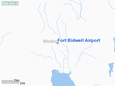
Location: |
Modoc County, CA |
|
Magnetic Variation: |
17E (1985) |
Owner
& Manager
|
Ownership: |
Publicly owned |
|
Owner: |
County Of Modoc |
|
Address: |
202 W 4th St
Alturas, CA 96101 |
|
Phone
number: |
530-233-6403 |
|
Manager: |
Rick Hironymous |
|
Address: |
202 W 4th St
Alturas, CA 96101 |
|
Phone number: |
530-233-6403
PUBLIC WORKS DEPARTMENT, ALTURAS. |
Airport
Operations and Facilities
|
Airport
Use: |
Open to public |
|
Wind
indicator: |
Yes |
|
Segmented
Circle: |
No |
|
Control
Tower: |
No |
|
Attendance
Schedule: |
UNATNDD |
|
Landing
fee charge: |
No |
|
Sectional
chart: |
Klamath Falls |
|
Region: |
AWP - Western-Pacific |
|
Traffic
Pattern Alt: |
800 ft |
|
Boundary
ARTCC: |
ZSE - Seattle |
|
Tie-in
FSS: |
RNO - Reno |
|
FSS
on Airport: |
No |
|
FSS
Phone: |
775-858-1300 |
|
FSS
Toll Free: |
1-800-WX-BRIEF |
|
NOTAMs
Facility: |
RNO (NOTAM-d service avaliable) |
|
Federal Agreements: |
1 |
Airport
Communications
Airport
Services
|
Airframe
Repair: |
NONE |
|
Power
Plant Repair: |
NONE |
|
Bottled
Oxygen: |
NONE |
|
Bulk
Oxygen: |
NONE |
|
Runway Information
Runway 16/34
|
Dimension: |
3660 x 50 ft / 1115.6 x 15.2 m |
|
Surface: |
GRVL, Fair Condition |
|
|
Runway 16 |
Runway 34 |
|
Traffic
Pattern: |
Left |
Left |
|
Markings: |
None, |
None, |
|
Runway
End Identifier: |
No |
No |
|
Centerline
Lights: |
No |
No |
|
Touchdown
Lights: |
No |
No |
|
Obstruction: |
10 ft road, 120.0 ft from runway, 12:1 slope
to clear |
10 ft bushes, 20.0 ft from runway, 80 ft left
of centerline, 2:1 slope to clear |
|
Radio Navigation
Aids
|
ID |
Type |
Name |
Ch |
Freq |
Var |
Dist |
|
ARU |
NDB |
Alturas |
|
215.00 |
18E |
30.5 nm |
|
LKV |
VORTAC |
Lakeview |
57X |
112.00 |
19E |
40.4 nm |
Remarks
- NO
SNOW REMOVAL
- RUNWAY
NOT REGULARLY MAINTAINED, GRAVEL AND ROCKS UP TO 4" DIAMETER ON
RUNWAY
- +
4 FT FENCE, 120 FEET EAST OF RUNWAY CENTERLINE FOR ENTIRE LENGTH OF
RUNWAY
- ESTABD
PRIOR TO 15 MAY 1959.
Operational Statistics
|
Aircraft
Operations: |
9/Month |
|
General
Aviation Itinerant: |
100.0% |
Fort Bidwell Airport
Address:
Modoc County, CA
Tel:
530-233-6403
Images
and information placed above are from
http://www.airport-data.com/airport/A28/
We
thank them for the data!
| General
Info |
| Country |
United
States |
| State |
CALIFORNIA
|
| FAA ID |
A28
|
| Latitude |
41-52-34.605N
|
| Longitude |
120-08-48.818W
|
| Elevation |
4602 feet
|
| Near City |
FORT BIDWELL
|
We don't guarantee the information is fresh and accurate. The data may
be wrong or outdated.
For more up-to-date information please refer to other sources.
|
|


