 |
|
Location
& QuickFacts
|
FAA
Information Effective: |
2006-06-08 |
|
Airport
Identifier: |
CA04 |
|
Longitude/Latitude: |
122-20-20.0140W/40-20-46.5510N
-122.338893/40.346264 (Estimated) |
|
Elevation: |
530 ft / 161.54 m (Estimated) |
|
Land: |
0 acres |
|
From
nearest city: |
3 nautical miles SW of Cottonwood, CA |
|
Location: |
Tehama County, CA |
|
Magnetic Variation: |
17E (1985) |
Owner
& Manager
|
Ownership: |
Privately owned |
|
Owner: |
James & Peggy Newmeyer |
|
Address: |
18775 Laurel Way
Cottonwood, CA 96022 |
|
Phone number: |
916-347-7112 |
|
Address: |
|
Airport
Operations and Facilities
|
Airport
Use: |
Private |
|
Wind
indicator: |
Yes |
|
Segmented
Circle: |
No |
|
Control
Tower: |
No |
|
Attendance
Schedule: |
ALL/ALL/ALL |
|
Landing
fee charge: |
No |
|
Sectional
chart: |
Klamath Falls |
|
Region: |
AWP - Western-Pacific |
|
Boundary
ARTCC: |
ZOA - Oakland |
|
Tie-in
FSS: |
RIU - Rancho Murieta |
|
FSS
on Airport: |
No |
|
FSS
Phone: |
916-354-0161 |
|
FSS Toll Free: |
1-800-WX-BRIEF |
Airport
Services
|
Airframe
Repair: |
NONE |
|
Power
Plant Repair: |
NONE |
|
Runway Information
Runway 16/34
|
Dimension: |
2600 x 150 ft / 792.5 x 45.7 m |
|
Surface: |
TURF, |
|
|
Runway 16 |
Runway 34 |
|
Traffic
Pattern: |
Right |
Right |
|
Obstruction: |
50 ft trees |
|
|
Radio Navigation
Aids
|
ID |
Type |
Name |
Ch |
Freq |
Var |
Dist |
|
PBT |
NDB |
Proberta |
|
338.00 |
16E |
14.7 nm |
|
RDD |
VOR/DME |
Redding |
021X |
108.40 |
18E |
9.8 nm |
|
CIC |
VOR/DME |
Chico |
035X |
109.80 |
16E |
40.4 nm |
|
RBL |
VORTAC |
Red Bluff |
104X |
115.70 |
18E |
15.6 nm |
Remarks
- RESTRICTED
FIELD.NOT RECOMMENDED FOR STUDENT USE.
Based Aircraft
|
Aircraft
based on field: |
5 |
|
Single
Engine Airplanes: |
5 |
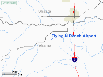
Flying N Ranch Airport
Address:
Tehama County, CA
Tel:
916-347-7112
Images
and information placed above are from
http://www.airport-data.com/airport/CA04/
We
thank them for the data!
| General
Info |
| Country |
United
States |
| State |
CALIFORNIA
|
| FAA ID |
CA04
|
| Latitude |
40-20-46.551N
|
| Longitude |
122-20-20.014W
|
| Elevation |
530 feet
|
| Near City |
COTTONWOOD |
We don't guarantee the information is fresh and accurate. The data may
be wrong or outdated.
For more up-to-date information please refer to other sources.
|
|


