 |
|
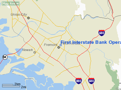
First Interstate Bank Operations Center Heliport |
|
|
Location
& QuickFacts
|
FAA
Information Effective: |
2006-06-08 |
|
Airport
Identifier: |
CL05 |
|
Longitude/Latitude: |
121-58-48.8580W/37-32-52.7700N
-121.980238/37.547992 (Estimated) |
|
Elevation: |
112 ft / 34.14 m (Estimated) |
|
Land: |
0 acres |
|
From
nearest city: |
1 nautical miles NE of Fremont, CA |
|
Location: |
Alameda County, CA |
|
Magnetic Variation: |
16E (1985) |
Owner
& Manager
|
Ownership: |
Privately owned |
|
Owner: |
United Calif Bank Realty Corp |
|
Address: |
3440 Walnut Ave F1-11
Fremont, CA 94538 |
|
Phone
number: |
510-745-5234 |
|
Manager: |
Leigh Taylor |
|
Address: |
3440 Walnut Ave.
Fremont, CA 94538 |
|
Phone number: |
510-745-5234 |
Airport
Operations and Facilities
|
Airport
Use: |
Private |
|
Wind
indicator: |
Yes |
|
Segmented
Circle: |
No |
|
Control
Tower: |
No |
|
Attendance
Schedule: |
ALL/ALL/ALL |
|
Lighting
Schedule: |
PHONE REQ
FOR PERIMETER LGTS CALL 510-745-5306; 510-745-5303 SECURITY. |
|
Beacon
Color: |
Clear-Green-Yellow (heliport) |
|
Landing
fee charge: |
No |
|
Sectional
chart: |
San Francisco |
|
Region: |
AWP - Western-Pacific |
|
Boundary
ARTCC: |
ZOA - Oakland |
|
Tie-in
FSS: |
OAK - Oakland |
|
FSS
on Airport: |
No |
|
FSS
Phone: |
510-273-6111 |
|
FSS
Toll Free: |
1-800-WX-BRIEF |
|
Runway Information
Helipad H1
|
Dimension: |
40 x 40 ft / 12.2 x 12.2 m |
|
Surface: |
ASPH, |
|
|
Runway H1 |
Runway |
|
Traffic
Pattern: |
Left |
Left |
|
Radio Navigation
Aids
|
ID |
Type |
Name |
Ch |
Freq |
Var |
Dist |
|
LV |
NDB |
Reiga |
|
374.00 |
16E |
16.6 nm |
|
TCY |
NDB |
Tracy |
|
203.00 |
15E |
26.9 nm |
|
PDG |
NDB |
Pajar |
|
327.00 |
17E |
39.0 nm |
|
NUQ |
TACAN |
Moffett |
123X |
|
17E |
7.9 nm |
|
SUU |
TACAN |
Travis |
113X |
|
17E |
42.0 nm |
|
TZZ |
VOR |
Travis |
|
116.40 |
17E |
48.5 nm |
|
SJC |
VOR/DME |
San Jose |
088X |
114.10 |
16E |
10.6 nm |
|
SFO |
VOR/DME |
San Francisco |
105X |
115.80 |
17E |
19.2 nm |
|
CCR |
VOR/DME |
Concord |
117X |
117.00 |
17E |
30.0 nm |
|
MOD |
VOR/DME |
Modesto |
093X |
114.60 |
17E |
48.9 nm |
|
OAK |
VORTAC |
Oakland |
115X |
116.80 |
17E |
15.8 nm |
|
OSI |
VORTAC |
Woodside |
086X |
113.90 |
17E |
17.1 nm |
|
SAU |
VORTAC |
Sausalito |
109X |
116.20 |
17E |
31.7 nm |
|
ECA |
VORTAC |
Manteca |
107X |
116.00 |
17E |
42.1 nm |
|
SGD |
VORTAC |
Scaggs Island |
058X |
112.10 |
17E |
42.3 nm |
|
SFO |
VOT |
San Francisco Intl |
|
111.00 |
|
19.3 nm |
Remarks
First Interstate Bank Operations Center
Heliport
Address:
Alameda County, CA
Tel:
510-745-5234
Images
and information placed above are from
http://www.airport-data.com/airport/CL05/
We
thank them for the data!
| General
Info |
| Country |
United
States |
| State |
CALIFORNIA
|
| FAA ID |
CL05
|
| Latitude |
37-32-52.770N
|
| Longitude |
121-58-48.858W
|
| Elevation |
112 feet
|
| Near City |
FREMONT
|
We don't guarantee the information is fresh and accurate. The data may
be wrong or outdated.
For more up-to-date information please refer to other sources.
|
|


