 |
|
|
|
|
|
Location
& QuickFacts
|
FAA
Information Effective: |
2006-06-08 |
|
Airport
Identifier: |
CL37 |
|
Longitude/Latitude: |
121-50-59.9200W/39-44-32.5790N
-121.849978/39.742383 (Estimated) |
|
Elevation: |
253 ft / 77.11 m (Surveyed) |
|
Land: |
0 acres |
|
From
nearest city: |
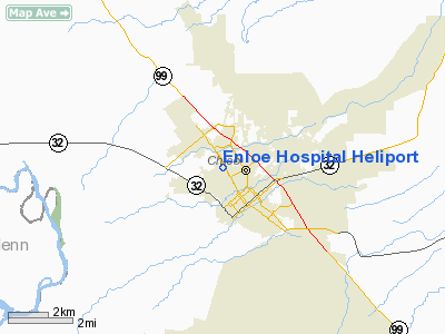
1 nautical miles NW of Chico, CA |
|
Location: |
Butte County, CA |
|
Magnetic Variation: |
17E (1985) |
Owner
& Manager
|
Ownership: |
Privately owned |
|
Owner: |
N T Enloe Memorial Hospital |
|
Address: |
W. 5th Ave & The Esplanade
Chico, CA 95926 |
|
Phone
number: |
916-891-7300 |
|
Manager: |
T.a. Marshall Jr.
DIRECTOR OF HELICOPTER OPERATIONS. |
|
Address: |
|
|
Phone number: |
916-891-7455 |
Airport
Operations and Facilities
|
Airport
Use: |
Private
MEDICAL. |
|
Wind
indicator: |
Yes |
|
Segmented
Circle: |
No |
|
Control
Tower: |
No |
|
Attendance
Schedule: |
ALL/ALL/ALL |
|
Lighting
Schedule: |
DUSK-DAWN |
|
Beacon
Color: |
Clear-Green-Yellow (heliport) |
|
Landing
fee charge: |
No |
|
Sectional
chart: |
San Francisco |
|
Region: |
AWP - Western-Pacific |
|
Boundary
ARTCC: |
ZOA - Oakland |
|
Tie-in
FSS: |
RIU - Rancho Murieta |
|
FSS
Phone: |
916-354-0161 |
|
FSS
Toll Free: |
1-800-WX-BRIEF |
|
Runway Information
Helipad H1
|
Dimension: |
75 x 66 ft / 22.9 x 20.1 m |
|
Surface: |
CONC, |
|
|
Runway H1 |
Runway |
|
Traffic
Pattern: |
Left |
Left |
|
Radio Navigation
Aids
|
ID |
Type |
Name |
Ch |
Freq |
Var |
Dist |
|
OVE |
NDB |
Oroville |
|
212.00 |
16E |
18.2 nm |
|
PBT |
NDB |
Proberta |
|
338.00 |
16E |
28.6 nm |
|
MY |
NDB |
Halow |
|
222.00 |
16E |
36.2 nm |
|
BAB |
TACAN |
Beale |
023X |
|
16E |
41.2 nm |
|
CIC |
VOR/DME |
Chico |
035X |
109.80 |
16E |
2.9 nm |
|
MYV |
VOR/DME |
Marysville |
045X |
110.80 |
16E |
40.8 nm |
|
RBL |
VORTAC |
Red Bluff |
104X |
115.70 |
18E |
27.9 nm |
|
MXW |
VORTAC |
Maxwell |
037X |
110.00 |
18E |
30.8 nm |
|
ILA |
VORTAC |
Williams |
091X |
114.40 |
18E |
41.2 nm |
Remarks
Based Aircraft
|
Aircraft
based on field: |
1 |
|
Helicopters: |
1 |
Enloe Hospital Heliport
Address:
Butte County, CA
Tel:
916-891-7300,
916-891-7455
Images
and information placed above are from
http://www.airport-data.com/airport/CL37/
We
thank them for the data!
| General
Info |
| Country |
United
States |
| State |
CALIFORNIA
|
| FAA ID |
CL37
|
| Latitude |
39-44-32.579N
|
| Longitude |
121-50-59.920W
|
| Elevation |
253 feet
|
| Near City |
CHICO
|
We don't guarantee the information is fresh and accurate. The data may
be wrong or outdated.
For more up-to-date information please refer to other sources.
|
|


