 |
|
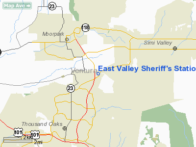
East Valley Sheriff's Station Heliport |
Location
& QuickFacts
|
FAA
Information Effective: |
2006-06-08 |
|
Airport
Identifier: |
6CA4 |
|
Longitude/Latitude: |
118-50-07.3400W/34-14-48.0140N
-118.835372/34.246671 (Estimated) |
|
Elevation: |
917 ft / 279.50 m (Estimated) |
|
Land: |
0 acres |
|
From
nearest city: |
0 nautical miles N of Thousand Oaks, CA |
|
Location: |
Ventura County, CA |
|
Magnetic Variation: |
14E (1985) |
Owner
& Manager
|
Ownership: |
Publicly owned |
|
Owner: |
Ventura Co Sheriff's Dept |
|
Address: |
2101 E. Olsen Road
Thousand Oaks, CA 93065 |
|
Phone
number: |
805-494-8263 |
|
Manager: |
Lt. L.c.reynolds |
|
Address: |
2101 E. Olsen Road
Thousand Oaks, CA 93065 |
|
Phone number: |
805-494-8263 |
Airport
Operations and Facilities
|
Airport
Use: |
Private |
|
Segmented
Circle: |
No |
|
Control
Tower: |
No |
|
Attendance
Schedule: |
UNATNDD |
|
Sectional
chart: |
Los Angeles |
|
Region: |
AWP - Western-Pacific |
|
Boundary
ARTCC: |
ZLA - Los Angeles |
|
Tie-in
FSS: |
HHR - Hawthorne |
|
FSS
Phone: |
310-970-0102 |
|
FSS
Toll Free: |
1-800-WX-BRIEF |
|
Runway Information
Helipad H1
|
Dimension: |
45 x 45 ft / 13.7 x 13.7 m |
|
Surface: |
CONC, |
|
|
Runway H1 |
Runway |
|
Traffic
Pattern: |
Left |
Left |
|
Radio Navigation
Aids
|
ID |
Type |
Name |
Ch |
Freq |
Var |
Dist |
|
PAI |
NDB |
Pacoima |
|
370.00 |
15E |
21.0 nm |
|
CPM |
NDB |
Compton |
|
378.00 |
15E |
36.3 nm |
|
EMT |
NDB |
El Monte |
|
359.00 |
15E |
41.1 nm |
|
GWF |
NDB |
Gen William J Fox |
|
282.00 |
15E |
42.6 nm |
|
NTD |
TACAN |
Point Mugu |
043X |
|
15E |
16.1 nm |
|
CMA |
VOR/DME |
Camarillo |
105X |
115.80 |
15E |
13.0 nm |
|
VTU |
VOR/DME |
Ventura |
019X |
108.20 |
15E |
13.3 nm |
|
VNY |
VOR/DME |
Van Nuys |
078X |
113.10 |
15E |
17.1 nm |
|
SMO |
VOR/DME |
Santa Monica |
045X |
110.80 |
15E |
23.6 nm |
|
FIM |
VORTAC |
Fillmore |
072X |
112.50 |
15E |
7.0 nm |
|
LAX |
VORTAC |
Los Angeles |
083X |
113.60 |
15E |
27.5 nm |
|
LHS |
VORTAC |
Lake Hughes |
021X |
108.40 |
15E |
29.2 nm |
|
GMN |
VORTAC |
Gorman |
108X |
116.10 |
16E |
33.5 nm |
|
PMD |
VORTAC |
Palmdale |
092X |
114.50 |
15E |
44.7 nm |
|
SLI |
VORTAC |
Seal Beach |
104X |
115.70 |
15E |
47.8 nm |
|
RZS |
VORTAC |
San Marcus |
096X |
114.90 |
14E |
49.0 nm |
|
LAX |
VOT |
San Pedro Hill |
|
113.90 |
|
39.1 nm |
Remarks
- PRVDD
VFR/PVT USE ONLY; IF OPS ARE CONDUCTED BETWEEN SUNSET & SUNRISE
INSTALL LIGHTING.
East Valley Sheriff's Station Heliport
Address:
Ventura County, CA
Tel:
805-494-8263
Images
and information placed above are from
http://www.airport-data.com/airport/6CA4/
We
thank them for the data!
| General
Info |
| Country |
United
States |
| State |
CALIFORNIA
|
| FAA ID |
6CA4
|
| Latitude |
34-14-48.014N
|
| Longitude |
118-50-07.340W
|
| Elevation |
917 feet
|
| Near City |
THOUSAND
OAKS |
We don't guarantee the information is fresh and accurate. The data may
be wrong or outdated.
For more up-to-date information please refer to other sources.
|
|


