 |
|
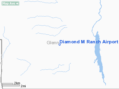
Location
& QuickFacts
|
FAA
Information Effective: |
2006-06-08 |
|
Airport
Identifier: |
90CL |
|
Longitude/Latitude: |
122-36-33.9750W/39-34-19.5660N
-122.609437/39.572102 (Estimated) |
|
Elevation: |
1296
ft / 395.02 m (Estimated) |
|
Land: |
0
acres |
|
From
nearest city: |
3 nautical miles SW of Elk Creek, CA |
|
Location: |
Glenn County, CA |
|
Magnetic Variation: |
17E (1985) |
Owner & Manager
|
Ownership: |
Privately owned |
|
Owner: |
J L Markell |
|
Address: |
Box 32
Elk Creek, CA 95939 |
|
Address: |
|
|
Phone number: |
916-968-5162 |
Airport Operations and Facilities
|
Airport Use: |
Private |
|
Wind indicator: |
No |
|
Segmented Circle: |
No |
|
Control Tower: |
No |
|
Attendance Schedule: |
IREG |
|
Landing fee charge: |
No |
|
Sectional chart: |
San Francisco |
|
Region: |
AWP - Western-Pacific |
|
Boundary ARTCC: |
ZOA - Oakland |
|
Tie-in FSS: |
RIU - Rancho Murieta |
|
FSS on Airport: |
No |
|
FSS Phone: |
916-354-0161 |
|
FSS Toll Free: |
1-800-WX-BRIEF |
Airport Services
|
Airframe
Repair: |
NONE |
|
Power
Plant Repair: |
NONE |
|
Runway Information
Runway 09/27
|
Dimension: |
2400
x 75 ft / 731.5 x 22.9 m |
|
Surface: |
TURF, |
|
|
Runway 09 |
Runway 27 |
|
Traffic
Pattern: |
Left |
Left |
|
Radio Navigation
Aids
|
ID |
Type |
Name |
Ch |
Freq |
Var |
Dist |
|
PBT |
NDB |
Proberta |
|
338.00 |
16E |
36.8 nm |
|
LOP |
NDB |
Lampson |
|
217.00 |
16E |
36.9 nm |
|
OVE |
NDB |
Oroville |
|
212.00 |
16E |
46.0 nm |
|
CIC |
VOR/DME |
Chico |
035X |
109.80 |
16E |
37.6 nm |
|
MXW |
VORTAC |
Maxwell |
037X |
110.00 |
18E |
23.6 nm |
|
RBL |
VORTAC |
Red Bluff |
104X |
115.70 |
18E |
36.0 nm |
|
ILA |
VORTAC |
Williams |
091X |
114.40 |
18E |
40.5 nm |
|
ENI |
VORTAC |
Mendocino |
070X |
112.30 |
16E |
43.9 nm |
Remarks
- RWY
09/27 SLOPES EAST.
- ESTABD
PRIOR TO 15 MAY 1959.
Based Aircraft
|
Aircraft
based on field: |
1 |
|
Single
Engine Airplanes: |
1 |
Diamond M Ranch Airport
Address: Glenn
County, CA
Tel:
916-968-5162
Images
and information placed above are from
http://www.airport-data.com/airport/90CL/
We
thank them for the data!
| General
Info |
| Country |
United
States |
| State |
CALIFORNIA
|
| FAA ID |
90CL |
| Latitude |
39-34-19.566N
|
| Longitude |
122-36-33.975W
|
| Elevation |
1296 feet
|
| Near City |
ELK CREEK
|
We don't guarantee the information is fresh and accurate. The data may
be wrong or outdated.
For more up-to-date information please refer to other sources.
|
|


