 |
|
|
|
|
|
Location
& QuickFacts
|
FAA
Information Effective: |
2006-06-08 |
|
Airport
Identifier: |
CA10 |
|
Longitude/Latitude: |
122-19-09.0570W/41-37-01.5330N
-122.319182/41.617092 (Estimated) |
|
Elevation: |
3010
ft / 917.45 m (Surveyed) |
|
Land: |
0
acres |
|
From
nearest city: |
6 nautical miles SE of Little Shasta, CA |
|
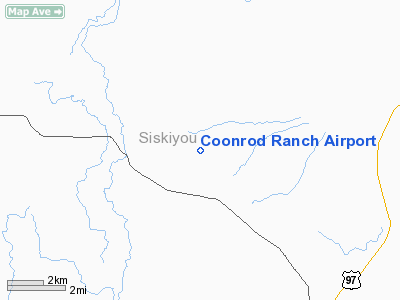
Location: |
Siskiyou County, CA |
|
Magnetic Variation: |
18E (1985) |
Owner
& Manager
|
Ownership: |
Privately owned |
|
Owner: |
Donald Coonrod |
|
Address: |
Rt 1, Box 8618
Montague, CA 96064 |
|
Phone number: |
916-459-3222 |
|
Manager: |
Donald Coonrod |
|
Address: |
Rt 1, Box 8618
Montague, CA 96064 |
|
Phone number: |
916-459-3222 |
Airport
Operations and Facilities
|
Airport Use: |
Private |
|
Wind indicator: |
Yes |
|
Segmented Circle: |
No |
|
Control Tower: |
No |
|
Attendance Schedule: |
ALL/ALL/ALL |
|
Landing fee charge: |
No |
|
Sectional chart: |
Klamath Falls |
|
Region: |
AWP - Western-Pacific |
|
Boundary ARTCC: |
ZSE - Seattle |
|
Tie-in FSS: |
RIU - Rancho Murieta |
|
FSS on Airport: |
No |
|
FSS Phone: |
916-354-0161 |
|
FSS Toll Free: |
1-800-WX-BRIEF |
Airport
Services
|
Airframe
Repair: |
NONE |
|
Power
Plant Repair: |
NONE |
|
Runway Information
Runway 15/33
|
Dimension: |
3000 x 100 ft / 914.4 x 30.5 m |
|
Surface: |
DIRT, |
|
|
Runway 15 |
Runway 33 |
|
Traffic
Pattern: |
Left |
Left |
|
Radio Navigation
Aids
|
ID |
Type |
Name |
Ch |
Freq |
Var |
Dist |
|
MOG |
NDB |
Montague |
|
404.00 |
19E |
9.9 nm |
|
LFA |
NDB |
Merrill |
|
347.00 |
17E |
37.5 nm |
|
FJS |
VOR/DME |
Fort Jones |
033X |
109.60 |
19E |
24.1 nm |
|
LMT |
VORTAC |
Klamath Falls |
106X |
115.90 |
17E |
41.7 nm |
Remarks
- ESTABD
PRIOR TO MAY 15, 1959.
Based Aircraft
|
Aircraft
based on field: |
2 |
|
Single
Engine Airplanes: |
|
Coonrod Ranch Airport
Address:
Siskiyou County, CA
Tel:
916-459-3222
Images
and information placed above are from
http://www.airport-data.com/airport/CA10/
We
thank them for the data!
| General
Info |
| Country |
United
States |
| State |
CALIFORNIA
|
| FAA ID |
CA10
|
| Latitude |
41-37-01.533N
|
| Longitude |
122-19-09.057W
|
| Elevation |
3010 feet
|
| Near City |
LITTLE
SHASTA |
We don't guarantee the information is fresh and accurate. The data may
be wrong or outdated.
For more up-to-date information please refer to other sources.
|
|


