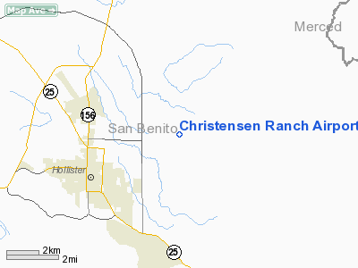
Christensen Ranch Airport |
Location
& QuickFacts
|
FAA
Information Effective: |
2006-06-08 |
|
Airport
Identifier: |
9CL2 |
|
Longitude/Latitude: |
121-20-13.7540W/36-52-17.8320N
-121.337154/36.871620 (Estimated) |
|
Elevation: |
380 ft / 115.82 m (Estimated) |
|
Land: |
0 acres |
|
From
nearest city: |
3 nautical miles NE of Hollister, CA |
|
Location: |
San Benito County, CA |
|
Magnetic Variation: |
15E (1985) |
Owner
& Manager
|
Ownership: |
Privately owned |
|
Owner: |
F. L. Christensen |
|
Address: |
Po Box 25033
Jackson, WY 83001 |
|
Phone number: |
307-733-1789 |
|
Address: |
|
|
Phone number: |
408-637-7406 |
Airport
Operations and Facilities
|
Airport Use: |
Private |
|
Wind indicator: |
No |
|
Segmented Circle: |
No |
|
Control Tower: |
No |
|
Attendance Schedule: |
ALL/ALL/ALL |
|
Landing fee charge: |
No |
|
Sectional chart: |
San Francisco |
|
Region: |
AWP - Western-Pacific |
|
Boundary ARTCC: |
ZOA - Oakland |
|
Tie-in FSS: |
OAK - Oakland |
|
FSS on Airport: |
No |
|
FSS Phone: |
510-273-6111 |
|
FSS Toll Free: |
1-800-WX-BRIEF |
Airport
Services
|
Airframe
Repair: |
NONE |
|
Power
Plant Repair: |
NONE |
|
Runway Information
Runway 07/25
|
Dimension: |
3000 x 50 ft / 914.4 x 15.2 m |
|
Surface: |
ASPH, |
|
|
Runway 07 |
Runway 25 |
|
Traffic
Pattern: |
Right |
Right |
|
Radio Navigation
Aids
|
ID |
Type |
Name |
Ch |
Freq |
Var |
Dist |
|
PDG |
NDB |
Pajar |
|
327.00 |
17E |
22.8 nm |
|
UAD |
NDB |
Chualar |
|
263.00 |
16E |
23.8 nm |
|
TCY |
NDB |
Tracy |
|
203.00 |
15E |
49.6 nm |
|
NUQ |
TACAN |
Moffett |
123X |
|
17E |
48.2 nm |
|
SJC |
VOR/DME |
San Jose |
088X |
114.10 |
16E |
42.0 nm |
|
MOD |
VOR/DME |
Modesto |
093X |
114.60 |
17E |
48.9 nm |
|
HYP |
VOR/DME |
El Nido |
089X |
114.20 |
15E |
49.6 nm |
|
SNS |
VORTAC |
Salinas |
120X |
117.30 |
17E |
17.9 nm |
|
PXN |
VORTAC |
Panoche |
073X |
112.60 |
16E |
28.5 nm |
|
BSR |
VORTAC |
Big Sur |
087X |
114.00 |
16E |
44.0 nm |
Remarks
- PVT
USE ARPT LCTD ADJ TO RANCH RESIDENCE.
- DETERMINATION
PENDING.
Christensen Ranch Airport
Address:
San Benito County, CA
Tel:
307-733-1789, 408-637-7406
Images
and information placed above are from
http://www.airport-data.com/airport/9CL2/
We
thank them for the data!
| General
Info |
| Country |
United
States |
| State |
CALIFORNIA
|
| FAA ID |
9CL2
|
| Latitude |
36-52-17.832N
|
| Longitude |
121-20-13.754W
|
| Elevation |
380 feet
|
| Near City |
HOLLISTER
|
We don't guarantee the information is fresh and accurate. The data may
be wrong or outdated.
For more up-to-date information please refer to other sources.
|


