 |
|
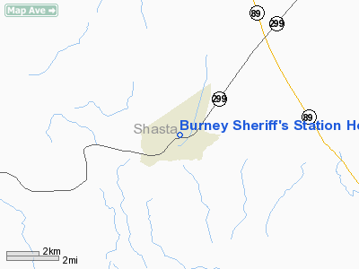
Burney Sheriff's Station Heliport |
Location
& QuickFacts
|
FAA
Information Effective: |
2006-06-08 |
|
Airport
Identifier: |
CA01 |
|
Longitude/Latitude: |
121-40-08.0000W/40-53-01.0000N
-121.668889/40.883611 (Estimated) |
|
Elevation: |
3127 ft / 953.11 m (Estimated) |
|
Land: |
0 acres |
|
From
nearest city: |
0 nautical miles N of Burney, CA |
|
Location: |
Shasta County, CA |
|
Magnetic Variation: |
17E (1995) |
Owner
& Manager
|
Ownership: |
Privately owned |
|
Owner: |
County Of Shasta |
|
Address: |
20509 Shasta Street
Burney, CA 96013 |
|
Phone number: |
530-335-4511 |
|
Manager: |
Capt. Rick Burnett |
|
Address: |
20509 Shasta Street
Burney, CA 96013 |
|
Phone number: |
530-335-4511 |
Airport
Operations and Facilities
|
Airport
Use: |
Private |
|
Wind
indicator: |
Yes |
|
Segmented
Circle: |
No |
|
Control
Tower: |
No |
|
Attendance
Schedule: |
ALL/ALL/0800-1600 |
|
Lighting
Schedule: |
DUSK-DAWN |
|
Sectional
chart: |
San Francisco |
|
Region: |
AWP - Western-Pacific |
|
Boundary
ARTCC: |
ZOA - Oakland |
|
Tie-in
FSS: |
RIU - Rancho Murieta |
|
FSS
Phone: |
916-354-0161 |
|
FSS
Toll Free: |
1-800-WX-BRIEF |
|
Runway Information
Helipad H1
|
Dimension: |
39 x 39 ft / 11.9 x 11.9 m |
|
Surface: |
CONC, |
|
|
Runway H1 |
Runway |
|
Traffic
Pattern: |
Left |
Left |
|
Radio Navigation
Aids
|
ID |
Type |
Name |
Ch |
Freq |
Var |
Dist |
|
RDD |
VOR/DME |
Redding |
021X |
108.40 |
18E |
36.4 nm |
Remarks
- 32
FT PLINE 600 FT FM HELIPAD.
- PROVIDED
VFR PRIVATE USE.
Burney Sheriff's Station Heliport
Address:
Shasta County, CA
Tel:
530-335-4511
Images
and information placed above are from
http://www.airport-data.com/airport/CA01/
We
thank them for the data!
| General
Info |
| Country |
United
States |
| State |
CALIFORNIA
|
| FAA ID |
CA01
|
| Latitude |
40-53-01.000N
|
| Longitude |
121-40-08.000W
|
| Elevation |
3127 feet
|
| Near City |
BURNEY
|
We don't guarantee the information is fresh and accurate. The data may
be wrong or outdated.
For more up-to-date information please refer to other sources.
|
|


