 |
|
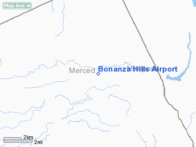
Location
& QuickFacts
|
FAA
Information Effective: |
2006-06-08 |
|
Airport
Identifier: |
34CN |
|
Longitude/Latitude: |
120-23-51.6900W/37-31-24.7690N
-120.397692/37.523547 (Estimated) |
|
Elevation: |
295 ft / 89.92 m (Estimated) |
|
Land: |
0 acres |
|
From
nearest city: |
2 nautical miles E of Snelling, CA |
|
Location: |
Merced County, CA |
|
Magnetic Variation: |
15E (1985) |
Owner
& Manager
|
Ownership: |
Privately owned |
|
Owner: |
Carl Morris |
|
Address: |
47 Dapplegray Lane
Rolling Hills Est, CA 90274 |
|
Manager: |
Carl Morris |
|
Address: |
17905 S Broadway
Gardena, CA 90248 |
|
Phone number: |
213-321-3547 |
Airport
Operations and Facilities
|
Airport
Use: |
Private |
|
Wind
indicator: |
No |
|
Segmented
Circle: |
Yes |
|
Control
Tower: |
No |
|
Attendance
Schedule: |
UNATNDD |
|
Landing
fee charge: |
No |
|
Sectional
chart: |
San Francisco |
|
Region: |
AWP - Western-Pacific |
|
Boundary
ARTCC: |
ZOA - Oakland |
|
Tie-in
FSS: |
RIU - Rancho Murieta |
|
FSS
on Airport: |
No |
|
FSS Phone: |
916-354-0161 |
|
FSS Toll Free: |
1-800-WX-BRIEF |
Airport
Services
|
Airframe
Repair: |
NONE |
|
Power
Plant Repair: |
NONE |
|
Runway Information
Runway 07/25
|
Dimension: |
4100 x 100 ft / 1249.7 x 30.5 m |
|
Surface: |
TRTD, |
|
|
Runway 07 |
Runway 25 |
|
Traffic
Pattern: |
Left |
Left |
|
Radio Navigation
Aids
|
ID |
Type |
Name |
Ch |
Freq |
Var |
Dist |
|
HYP |
VOR/DME |
El Nido |
089X |
114.20 |
15E |
18.3 nm |
|
MOD |
VOR/DME |
Modesto |
093X |
114.60 |
17E |
27.4 nm |
|
ECA |
VORTAC |
Manteca |
107X |
116.00 |
17E |
41.3 nm |
|
LIN |
VORTAC |
Linden |
095X |
114.80 |
17E |
43.9 nm |
|
FRA |
VORTAC |
Friant |
103X |
115.60 |
17E |
45.9 nm |
|
CZQ |
VORTAC |
Clovis |
076X |
112.90 |
15E |
47.5 nm |
Remarks
- 1500'
STOPWAY EACH END RWY 7/25.
- CONDL
- PROVIDED TREES IN APCH AREA ARE TOPPED SO AS TO ELIMINATE OBSTNS IN
APCH/DEP AREAS.
Bonanza Hills Airport
Address:
Merced County, CA
Tel:
213-321-3547
Images
and information placed above are from
http://www.airport-data.com/airport/34CN/
We
thank them for the data!
| General
Info |
| Country |
United
States |
| State |
CALIFORNIA
|
| FAA ID |
34CN
|
| Latitude |
37-31-24.769N
|
| Longitude |
120-23-51.690W
|
| Elevation |
295 feet
|
| Near City |
SNELLING
|
We don't guarantee the information is fresh and accurate. The data may
be wrong or outdated.
For more up-to-date information please refer to other sources.
|
|


