 |
|
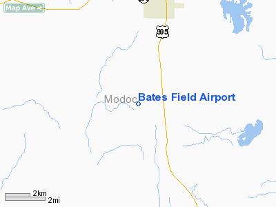
Location
& QuickFacts
|
FAA
Information Effective: |
2006-06-08 |
|
Airport
Identifier: |
CA06 |
|
Longitude/Latitude: |
120-34-09.2200W/41-25-03.9500N
-120.569228/41.417764 (Estimated) |
|
Elevation: |
4400 ft / 1341.12 m (Estimated) |
|
Land: |
0 acres |
|
From
nearest city: |
4 nautical miles S of Alturas, CA |
|
Location: |
Modoc County, CA |
|
Magnetic Variation: |
16E (2000) |
Owner
& Manager
|
Ownership: |
Privately owned |
|
Owner: |
Jim & Polly Bates |
|
Address: |
13147 County Road 60
Alturas, CA 96101 |
|
Phone number: |
530-233-4670 |
|
Manager: |
Jim & Polly Bates |
|
Address: |
13147 County Road 60
Alturas, CA 96101 |
|
Phone number: |
530-233-4670 |
Airport
Operations and Facilities
|
Airport
Use: |
Private |
|
Wind
indicator: |
Yes |
|
Segmented
Circle: |
No |
|
Control
Tower: |
No |
|
Attendance
Schedule: |
UNATNDD |
|
Sectional
chart: |
Klamath Falls |
|
Region: |
AWP - Western-Pacific |
|
Boundary
ARTCC: |
ZSE - Seattle |
|
Responsible
ARTCC: |
ZSE - Seattle |
|
Tie-in
FSS: |
RIU - Rancho Murieta |
|
FSS
Phone: |
916-354-0161 |
|
FSS
Toll Free: |
1-800-WX-BRIEF |
|
Runway Information
Runway 16/34
|
Dimension: |
2200 x 80 ft / 670.6 x 24.4 m |
|
Surface: |
TURF, |
|
|
Runway 16 |
Runway 34 |
|
Traffic
Pattern: |
Left |
Left |
|
Radio Navigation
Aids
|
ID |
Type |
Name |
Ch |
Freq |
Var |
Dist |
|
ARU |
NDB |
Alturas |
|
215.00 |
18E |
3.3 nm |
Remarks
- 25
FT TREES 1/2 MILE WEST OF ARPT.
- PROVIDED
VFR OPNS, PRIVATE USE, AND SPONSOR ENSURES OBSTRUCTION-FREE INGRESS
AND EGRESS ROUTES.
Based Aircraft
|
Aircraft
based on field: |
1 |
|
Single
Engine Airplanes: |
1 |
Bates Field Airport
Address:
Modoc County, CA
Tel:
530-233-4670
Images
and information placed above are from
http://www.airport-data.com/airport/CA06/
We
thank them for the data!
| General
Info |
| Country |
United
States |
| State |
CALIFORNIA
|
| FAA ID |
CA06
|
| Latitude |
41-25-03.950N
|
| Longitude |
120-34-09.220W
|
| Elevation |
4400 feet
|
| Near City |
ALTURAS
|
We don't guarantee the information is fresh and accurate. The data may
be wrong or outdated.
For more up-to-date information please refer to other sources.
|
|


