 |
|
|
|
|
|
Location
& QuickFacts
|
FAA
Information Effective: |
2006-06-08 |
|
Airport
Identifier: |
8CA2 |
|
Longitude/Latitude: |
121-03-10.8000W/38-56-04.6320N
-121.053000/38.934620 (Estimated) |
|
Elevation: |
1635 ft / 498.35 m (Estimated) |
|
Land: |
2 acres |
|
From
nearest city: |
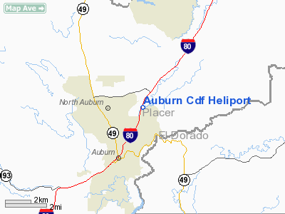
2 nautical miles NE of Auburn, CA |
|
Location: |
Placer County, CA |
|
Magnetic Variation: |
16E (1985) |
Owner
& Manager
|
Ownership: |
Publicly owned |
|
Owner: |
California Dept Of Forestry |
|
Address: |
13760 Lincoln Way
Auburn, CA 95603 |
|
Phone number: |
916-823-4904 |
|
Manager: |
Hank Weston |
|
Address: |
13760 Lincoln Way
Auburn, CA 95603 |
|
Phone number: |
916-823-4904 |
Airport
Operations and Facilities
|
Airport
Use: |
Private |
|
Wind
indicator: |
Yes |
|
Segmented
Circle: |
No |
|
Control
Tower: |
No |
|
Attendance
Schedule: |
ALL/ALL/ALL |
|
Lighting
Schedule: |
PHONE REQ
FOR PERIMETER LGTS PHONE 916-823-4270 OR 916-477-5764. |
|
Landing
fee charge: |
No |
|
Sectional
chart: |
San Francisco |
|
Region: |
AWP - Western-Pacific |
|
Boundary
ARTCC: |
ZOA - Oakland |
|
Tie-in
FSS: |
RIU - Rancho Murieta |
|
FSS
on Airport: |
No |
|
FSS
Phone: |
916-354-0161 |
|
FSS
Toll Free: |
1-800-WX-BRIEF |
|
Runway Information
Helipad H1
|
Dimension: |
40 x 40 ft / 12.2 x 12.2 m |
|
Surface: |
CONC, |
|
|
Runway H1 |
Runway |
|
Traffic
Pattern: |
Left |
Left |
|
Radio Navigation
Aids
|
ID |
Type |
Name |
Ch |
Freq |
Var |
Dist |
|
MY |
NDB |
Halow |
|
222.00 |
16E |
29.6 nm |
|
OVE |
NDB |
Oroville |
|
212.00 |
16E |
42.8 nm |
|
BAB |
TACAN |
Beale |
023X |
|
16E |
21.7 nm |
|
HNW |
VOR/DME |
Hangtown |
102X |
115.50 |
17E |
19.0 nm |
|
MCC |
VOR/DME |
Mc Clellan |
029X |
109.20 |
17E |
23.0 nm |
|
MYV |
VOR/DME |
Marysville |
045X |
110.80 |
16E |
26.2 nm |
|
SWR |
VOR/DME |
Squaw Valley |
079X |
113.20 |
16E |
39.4 nm |
|
SAC |
VORTAC |
Sacramento |
099X |
115.20 |
17E |
37.7 nm |
|
ILA |
VORTAC |
Williams |
091X |
114.40 |
18E |
46.2 nm |
|
SMF |
VOT |
Sacramento Metropolitan |
|
111.40 |
|
29.2 nm |
|
SAC |
VOT |
Sacramento Executive |
|
111.40 |
|
32.8 nm |
Remarks
Auburn Cdf Heliport
Address:
Placer County, CA
Tel:
916-823-4904
Images
and information placed above are from
http://www.airport-data.com/airport/8CA2/
We
thank them for the data!
| General
Info |
| Country |
United
States |
| State |
CALIFORNIA
|
| FAA ID |
8CA2
|
| Latitude |
38-56-04.632N
|
| Longitude |
121-03-10.800W
|
| Elevation |
1635 feet
|
| Near City |
AUBURN
|
We don't guarantee the information is fresh and accurate. The data may
be wrong or outdated.
For more up-to-date information please refer to other sources.
|
|


