 |
|
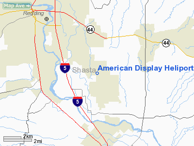
American Display (Redding) Heliport |
Location
& QuickFacts
|
FAA
Information Effective: |
2006-06-08 |
|
Airport
Identifier: |
2CL4 |
|
Longitude/Latitude: |
122-18-13.0170W/40-31-19.5460N
-122.303616/40.522096 (Estimated) |
|
Elevation: |
503 ft / 153.31 m (Estimated) |
|
Land: |
0 acres |
|
From
nearest city: |
3 nautical miles SE of Redding, CA |
|
Location: |
Shasta County, CA |
|
Magnetic Variation: |
17E (1990) |
Owner
& Manager
|
Ownership: |
Privately owned |
|
Owner: |
Bill R. Woods |
|
Address: |
5800 Airport Rd.
Redding, CA 96002 |
|
Phone
number: |
916-221-3500 |
|
Manager: |
Bill R. Woods |
|
Address: |
5800 Airport Rd.
Redding, CA 96002 |
|
Phone number: |
916-221-3500 |
Airport
Operations and Facilities
|
Airport
Use: |
Private |
|
Segmented
Circle: |
Yes |
|
Control
Tower: |
No |
|
Attendance
Schedule: |
UNATNDD |
|
Lighting
Schedule: |
PHONE REQ
FOR PERIMETER LGTS CALL (916) 221-3500. |
|
Sectional
chart: |
San Francisco |
|
Region: |
AWP - Western-Pacific |
|
Boundary
ARTCC: |
ZOA - Oakland |
|
Tie-in
FSS: |
RIU - Rancho Murieta |
|
FSS
on Airport: |
No |
|
FSS
Phone: |
916-354-0161 |
|
FSS
Toll Free: |
1-800-WX-BRIEF |
|
Runway Information
Helipad H1
|
Dimension: |
45 x 45 ft / 13.7 x 13.7 m |
|
Surface: |
CONC, |
|
|
Runway H1 |
Runway |
|
Traffic
Pattern: |
Left |
Left |
|
Radio Navigation
Aids
|
ID |
Type |
Name |
Ch |
Freq |
Var |
Dist |
|
PBT |
NDB |
Proberta |
|
338.00 |
16E |
24.7 nm |
|
RDD |
VOR/DME |
Redding |
021X |
108.40 |
18E |
1.2 nm |
|
CIC |
VOR/DME |
Chico |
035X |
109.80 |
16E |
48.8 nm |
|
RBL |
VORTAC |
Red Bluff |
104X |
115.70 |
18E |
25.6 nm |
Remarks
- PROVIDED
HELIPORT IS OPERATED FOR PVT USE VFR ONLY. OPNS AT AMERICAN DISPLAY
HELIPORT ARE COORDINATED WITH REDDING ATCT TO SATISFY COMMUNICATION
REQUIREMENTS, COMPATIBLE INGRESS/EGRESS ROUTES & SIMULTANEOUS OPNS.
American Display Heliport
Address:
Shasta County, CA
Tel:
916-221-3500
Images
and information placed above are from
http://www.airport-data.com/airport/2CL4/
We
thank them for the data!
| General
Info |
| Country |
United
States |
| State |
CALIFORNIA
|
| FAA ID |
2CL4
|
| Latitude |
40-31-19.546N
|
| Longitude |
122-18-13.017W
|
| Elevation |
503 feet
|
| Near City |
REDDING
|
We don't guarantee the information is fresh and accurate. The data may
be wrong or outdated.
For more up-to-date information please refer to other sources.
|
|


