 |
|
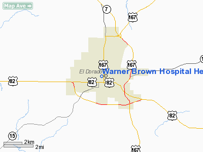
Warner Brown Hospital Heliport |
Location
& QuickFacts
| FAA
Information Effective: |
2006-02-16 |
| Airport
Identifier: |
AR47 |
| Longitude/Latitude: |
092-40-04.5630W/33-12-48.4670N
-92.667934/33.213463 (Estimated) |
| Elevation: |
212
ft / 64.62 m (Estimated) |
| Land: |
0 acres |
| From
nearest city: |
2
nautical miles SE of El Dorado, AR |
| Location: |
Union County, AR |
| Magnetic
Variation: |
04E
(1985) |
Owner
& Manager
| Ownership: |
Privately
owned |
| Owner: |
Warner
Brown |
| Address: |
460
West Oak St
El Dorado, AR 71730 |
| Phone
number: |
501-863-2000 |
| Address: |
Union
County, AR |
Airport
Operations and Facilities
| Airport
Use: |
Private
MEDICAL. |
| Wind
indicator: |
Yes |
| Segmented
Circle: |
No |
| Control
Tower: |
No |
| Attendance
Schedule: |
UNATNDD |
| Lighting
Schedule: |
DUSK-DAWN |
| Beacon
Color: |
Clear-Yellow
(lighted seaplan base) |
| Landing
fee charge: |
No |
| Sectional
chart: |
Memphis |
| Region: |
ASW
- Southwest |
| Boundary
ARTCC: |
ZFW
- Fort Worth |
| Tie-in
FSS: |
JBR - Jonesboro |
| FSS
on Airport: |
No |
| FSS
Phone: |
870-935-3471 |
| FSS
Toll Free: |
1-800-WX-BRIEF |
Runway
Information
Helipad
H1
| Dimension: |
31 x 31 ft / 9.4 x 9.4
m |
| Surface: |
CONC,
|
| |
Runway
H1 |
Runway
|
|
Traffic Pattern: |
Left |
Left |
|
Radio
Navigation Aids
|
ID |
Type |
Name |
Ch |
Freq |
Var |
Dist |
| CDH |
NDB |
Camden |
|
335.00 |
03E |
24.6 nm |
| AGO |
NDB |
Magnolia |
|
266.00 |
04E |
27.5 nm |
| HMQ |
NDB |
Homer |
|
212.00 |
02E |
30.5 nm |
| REN |
NDB |
Warren |
|
226.00 |
04E |
35.0 nm |
| ROQ |
NDB |
Ruston |
|
368.00 |
03E |
36.6 nm |
| SPH |
NDB |
Springhill |
|
375.00 |
05E |
41.3 nm |
| MNE |
NDB |
Minden |
|
201.00 |
04E |
47.0 nm |
| BQP |
NDB |
Bastrop |
|
329.00 |
03E |
48.2 nm |
| TUF |
NDB |
Stuckey |
|
350.00 |
03E |
48.5 nm |
| ELD |
VORTAC |
El Dorado |
102X |
115.50 |
07E |
4.6 nm |
Remarks
- POWER LINES N & S
MKD WITH SPHERICAL MKRS.
Warner Brown Hospital
Heliport
Address: Union County, AR
Tel: 501-863-2000
Images and information
placed above are from
http://www.airport-data.com/airport/AR47/
We
thank them for the data!
|
General Info |
| Country |
United
States |
| State |
ARKANSAS
|
| FAA
ID |
AR47
|
| Latitude |
33-12-48.467N
|
| Longitude |
092-40-04.563W
|
| Elevation |
212
feet |
| Near
City |
EL
DORADO |
We don't guarantee the information is fresh and accurate. The data may be wrong or outdated.
For more up-to-date information please refer to other sources.
|
|


