 |
|
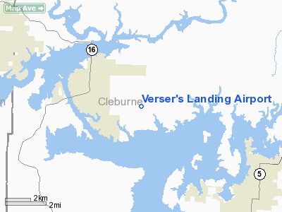
Location
& QuickFacts
|
FAA Information Effective: |
2005-10-27 |
|
Airport Identifier: |
7AR2 |
|
Longitude/Latitude: |
092-07-55.5600W/35-33-25.9200N
-92.132100/35.557200 (Estimated) |
|
Elevation: |
610
ft / 185.93 m (Estimated) |
|
Land: |
0
acres |
|
From nearest city: |
3
nautical miles SW of Greers Ferry, AR |
|
Location: |
Cleburne
County, AR |
Owner &
Manager
|
Ownership: |
Privately
owned |
|
Owner: |
Randy
Verser |
|
Address: |
1100
Fox Chase Drive
Greers
Ferry, AR 72067 |
|
Phone number: |
501-825-7418 |
|
Manager: |
Randy
Verser |
|
Address: |
1100
Fox Chase Drive
Greers
Ferry, AR 72067 |
|
Phone number: |
501-825-7418 |
Airport
Operations and Facilities
|
Airport Use: |
Private |
|
Segmented Circle: |
No |
|
Control Tower: |
No |
|
Attendance Schedule: |
UNATNDD |
|
Sectional chart: |
Memphis |
|
Region: |
ASW
- Southwest |
|
Boundary ARTCC: |
ZME
- Memphis |
|
Tie-in FSS: |
JBR
- Jonesboro |
|
FSS Phone: |
870-935-3471 |
|
FSS Toll Free: |
1-800-WX-BRIEF |
Runway
Information
Runway
18/36
|
Dimension: |
1600
x 75 ft / 487.7 x 22.9 m |
|
Surface: |
TURF,
|
| |
Runway 18 |
Runway 36 |
|
Traffic Pattern: |
Left |
Left |
| Obstruction: |
30 ft trees, 500.0 ft from runway |
30 ft trees, 0.0 ft from runway |
|
Radio Navigation
Aids
|
ID |
Type |
Name |
Ch |
Freq |
Var |
Dist |
| HBZ |
NDB |
Heber
Springs |
|
256.00 |
03E |
6.5
nm |
|
VLX |
NDB |
Wilcox |
|
348.00 |
02E |
18.7
nm |
| INY |
NDB |
Independence
County |
|
317.00 |
03E |
18.9
nm |
|
SRC |
NDB |
Searcy |
|
323.00 |
02E |
28.5
nm |
| CWS |
NDB |
Conway |
|
302.00 |
05E |
31.9
nm |
|
TYV |
NDB |
Toneyville |
|
290.00 |
04E |
36.8
nm |
| BDQ |
NDB |
Bridge |
|
208.00 |
04E |
38.0
nm |
|
AJX |
NDB |
Ash
Flat |
|
344.00 |
03E |
45.4
nm |
| EWP |
NDB |
Newport |
|
400.00 |
04E |
46.8
nm |
|
MPJ |
NDB |
Morrilton |
|
410.00 |
07E |
47.0
nm |
| LRF |
TACAN |
Jacksonville |
029X |
|
04E |
38.4
nm |
|
FLP |
VOR/DME |
Flippin |
075X |
112.80 |
03E |
47.4
nm |
Remarks
- PRVDD ALL TFC PATTERN
OPNS ARE CONDUCTED NORTH OF RY CENTERLINE.
Verser's
Landing Airport
Address:
Cleburne County,
AR
Tel: 501-825-7418
Images and information placed
above are from
http://www.airport-data.com/airport/7AR2/
We
thank them for the data!
|
General Info |
| Country |
United
States |
| State |
ARKANSAS
|
| FAA
ID |
7AR2 |
| Latitude |
35.557200
35° 33' 25.92" N |
| Longitude |
-92.132100
092° 07' 55.56" W |
| Elevation |
610
feet
186 meters |
| Near
City |
Greers
Ferry |
We don't guarantee the information is fresh and accurate. The data may be wrong or outdated.
For more up-to-date information please refer to other sources.
|
|


