 |
|
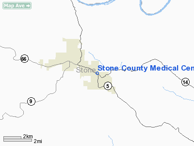
Stone County Medical Center Heliport |
Location
& QuickFacts
| FAA
Information Effective: |
2005-10-27 |
| Airport
Identifier: |
2AR3 |
| Longitude/Latitude: |
092-04-58.5440W/35-51-22.2660N
-92.082929/35.856185 (Estimated) |
| Elevation: |
765
ft / 233.17 m (Estimated) |
| Land: |
0 acres |
| From
nearest city: |
1
nautical miles E of Mountain View, AR |
| Location: |
Stone County, AR |
| Magnetic
Variation: |
03E
(1995) |
Owner
& Manager
| Ownership: |
Privately
owned |
| Owner: |
Stanley
Townsend/alan Warrick |
| Address: |
Hwy
14 East Po Box 510
Mountain View, AR 72560 |
| Phone
number: |
501-269-4361 |
| Manager: |
Bobby
Justus |
| Address: |
Hwy
14 East Po Box 510
Mountain View, AR 72560 |
| Phone
number: |
501-269-4361 |
Airport
Operations and Facilities
| Airport
Use: |
Private
MEDICAL. |
| Segmented
Circle: |
No |
| Control
Tower: |
No |
| Attendance
Schedule: |
UNATNDD |
| Lighting
Schedule: |
PHONE
REQ
FOR PERIMETER LGTS CALL 501-269-4361. |
| Sectional
chart: |
Memphis |
| Region: |
ASW
- Southwest |
| Boundary
ARTCC: |
ZME
- Memphis |
| Tie-in
FSS: |
JBR
- Jonesboro |
| FSS
on Airport: |
No |
| FSS
Phone: |
870-935-3471 |
| FSS
Toll Free: |
1-800-WX-BRIEF |
Runway
Information
Helipad
H1
| Dimension: |
40 x 40 ft / 12.2 x 12.2
m |
| Surface: |
CONC,
|
| |
Runway
H1 |
Runway
|
|
Traffic Pattern: |
Left |
Left |
|
Radio
Navigation Aids
|
ID |
Type |
Name |
Ch |
Freq |
Var |
Dist |
| VLX |
NDB |
Wilcox |
|
348.00 |
02E |
0.9 nm |
| INY |
NDB |
Independence County |
|
317.00 |
03E |
16.8 nm |
| HBZ |
NDB |
Heber Springs |
|
256.00 |
03E |
20.8 nm |
| AJX |
NDB |
Ash Flat |
|
344.00 |
03E |
30.3 nm |
| SRC |
NDB |
Searcy |
|
323.00 |
02E |
42.3 nm |
| EWP |
NDB |
Newport |
|
400.00 |
04E |
45.9 nm |
| CWS |
NDB |
Conway |
|
302.00 |
05E |
49.4 nm |
| FLP |
VOR/DME |
Flippin |
075X |
112.80 |
03E |
32.3 nm |
Remarks
- PRVDD MARKER BALLS INSTALLED
ON PLINES EAST & WEST OF HELIPAD & CONC PAD IS CENTERED IN GRASSY
AREA TO PROVIDE MAXIMUM CLEARANCE.
Stone County Medical
Center Heliport
Address: Stone County, AR
Images and information
placed above are from
http://www.airport-data.com/airport/2AR3/
We
thank them for the data!
|
General Info |
| Country |
United
States |
| State |
ARKANSAS
|
| FAA
ID |
2AR3
|
| Latitude |
35-51-22.266N
|
| Longitude |
092-04-58.544W
|
| Elevation |
765
feet |
| Near
City |
MOUNTAIN
VIEW |
We don't guarantee the information is fresh and accurate. The data may be wrong or outdated.
For more up-to-date information please refer to other sources.
|
|


