 |
|
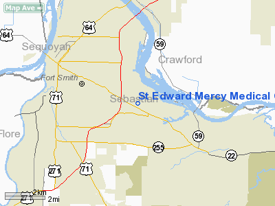
St Edward Mercy Medical Center Heliport |
Location
& QuickFacts
| FAA
Information Effective: |
2005-10-27 |
| Airport
Identifier: |
AR21 |
| Longitude/Latitude: |
094-21-00.7660W/35-21-20.3280N
-94.350213/35.355647 (Estimated) |
| Elevation: |
454
ft / 138.38 m (Estimated) |
| Land: |
0 acres |
| From
nearest city: |
0
nautical miles N of Fort Smith, AR |
| Location: |
Sebastian County, AR |
| Magnetic
Variation: |
05E
(1985) |
Owner
& Manager
| Ownership: |
Privately
owned |
| Owner: |
Religious
Sisters Of Mercy |
| Address: |
7301
Rogers Avenue
Fort Smith, AR 72903 |
| Phone
number: |
501-484-6000 |
| Manager: |
Sister
Judith M. Keith, Rsm |
| Address: |
7301
Rogers Avenue
Fort Smith, AR 72903 |
| Phone
number: |
501-484-6000 |
Airport
Operations and Facilities
| Airport
Use: |
Private
MEDICAL. |
| Wind
indicator: |
Yes |
| Segmented
Circle: |
No |
| Control
Tower: |
No |
| Attendance
Schedule: |
ALL/ALL/ALL |
| Landing
fee charge: |
No |
| Sectional
chart: |
Memphis |
| Region: |
ASW
- Southwest |
| Boundary
ARTCC: |
ZME
- Memphis |
| Tie-in
FSS: |
JBR
- Jonesboro |
| FSS
on Airport: |
No |
| FSS
Phone: |
870-935-3471 |
| FSS
Toll Free: |
1-800-WX-BRIEF |
Runway
Information
Helipad
H1
| Dimension: |
40 x 40 ft / 12.2 x 12.2
m |
| Surface: |
CONC,
|
| |
Runway
H1 |
Runway
|
|
Traffic Pattern: |
Left |
Left |
|
Radio
Navigation Aids
|
ID |
Type |
Name |
Ch |
Freq |
Var |
Dist |
| IQS |
NDB |
Sallisaw |
|
520.00 |
05E |
21.9 nm |
| CZE |
NDB |
Clarksville |
|
201.00 |
04E |
45.9 nm |
| TQH |
NDB |
Tahlequah |
|
215.00 |
05E |
46.9 nm |
| MKO |
NDB |
Muskogee |
|
306.00 |
06E |
48.1 nm |
| MEZ |
NDB |
Mena |
|
242.00 |
04E |
49.0 nm |
| DAK |
VOR/DME |
Drake |
025X |
108.80 |
07E |
42.0 nm |
| FSM |
VORTAC |
Fort Smith |
041X |
110.40 |
07E |
4.3 nm |
| PGO |
VORTAC |
Rich Mountain |
082X |
113.50 |
04E |
42.5 nm |
St Edward Mercy Medical
Center Heliport
Address: Sebastian County,
AR
Tel: 501-484-6000
Images and information
placed above are from
http://www.airport-data.com/airport/AR21/
We
thank them for the data!
|
General Info |
| Country |
United
States |
| State |
ARKANSAS
|
| FAA
ID |
AR21
|
| Latitude |
35-21-20.328N
|
| Longitude |
094-21-00.766W
|
| Elevation |
454
feet |
| Near
City |
FORT
SMITH |
We don't guarantee the information is fresh and accurate. The data may be wrong or outdated.
For more up-to-date information please refer to other sources.
|
|


