 |
|
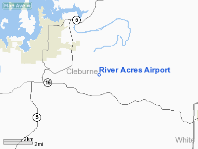
Location
& QuickFacts
|
FAA Information Effective: |
2005-10-27 |
|
Airport Identifier: |
3AR8 |
|
Longitude/Latitude: |
091-58-00.5290W/35-28-00.2860N
-91.966814/35.466746 (Estimated) |
|
Elevation: |
260
ft / 79.25 m (Estimated) |
|
Land: |
0
acres |
|
From nearest city: |
3
nautical miles E of Heber Springs, AR |
|
Location: |
Cleburne
County, AR |
|
Magnetic Variation: |
03E
(1985) |
Owner &
Manager
|
Ownership: |
Privately
owned |
|
Owner: |
J.
C. May |
|
Address: |
P.o.
Box 228
Herber
Springs, AR 72543 |
|
Phone number: |
501-362-2573 |
|
Manager: |
J.
C. May |
|
Address: |
Cleburne
County, AR |
|
Phone number: |
501-362-2573 |
Airport
Operations and Facilities
|
Airport Use: |
Private |
|
Wind indicator: |
Yes |
|
Segmented Circle: |
No |
|
Control Tower: |
No |
|
Attendance Schedule: |
UNATNDD |
|
Landing fee charge: |
No |
|
Sectional chart: |
Memphis |
|
Region: |
ASW
- Southwest |
|
Boundary ARTCC: |
ZME
- Memphis |
|
Tie-in FSS: |
JBR
- Jonesboro |
|
FSS on Airport: |
No |
|
FSS Phone: |
870-935-3471 |
|
FSS Toll Free: |
1-800-WX-BRIEF |
Runway
Information
Runway
N/S
|
Dimension: |
2500
x 100 ft / 762.0 x 30.5 m |
|
Surface: |
TURF,
|
| |
Runway N |
Runway S |
|
Traffic Pattern: |
Left |
Left |
|
Radio Navigation
Aids
|
ID |
Type |
Name |
Ch |
Freq |
Var |
Dist |
| HBZ |
NDB |
Heber
Springs |
|
256.00 |
03E |
3.6
nm |
|
INY |
NDB |
Independence
County |
|
317.00 |
03E |
16.8
nm |
| SRC |
NDB |
Searcy |
|
323.00 |
02E |
19.1
nm |
|
VLX |
NDB |
Wilcox |
|
348.00 |
02E |
24.9
nm |
| TYV |
NDB |
Toneyville |
|
290.00 |
04E |
31.0
nm |
|
CWS |
NDB |
Conway |
|
302.00 |
05E |
32.2
nm |
| EWP |
NDB |
Newport |
|
400.00 |
04E |
39.9
nm |
|
BDQ |
NDB |
Bridge |
|
208.00 |
04E |
41.5
nm |
| AJX |
NDB |
Ash
Flat |
|
344.00 |
03E |
46.4
nm |
|
LRF |
TACAN |
Jacksonville |
029X |
|
04E |
34.3
nm |
| LIT |
VORTAC |
Little
Rock |
086X |
113.90 |
05E |
48.6
nm |
Remarks
- AIRSPACE STUDY FOR PRIVATE
USE.
River Acres
Airport
Address:
Cleburne County,
AR
Tel: 501-362-2573
Images and information placed
above are from
http://www.airport-data.com/airport/3AR8/
We
thank them for the data!
|
General Info |
| Country |
United
States |
| State |
ARKANSAS
|
| FAA
ID |
3AR8
|
| Latitude |
35-28-00.286N
|
| Longitude |
091-58-00.529W
|
| Elevation |
260
feet |
| Near
City |
HEBER
SPRINGS |
We don't guarantee the information is fresh and accurate. The data may be wrong or outdated.
For more up-to-date information please refer to other sources.
|
|


