 |
|
Location
& QuickFacts
| FAA
Information Effective: |
2005-10-27 |
| Airport
Identifier: |
AR82 |
| Longitude/Latitude: |
092-41-45.5860W/34-10-16.3480N
-92.695996/34.171208 (Estimated) |
| Elevation: |
492
ft / 149.96 m (Estimated) |
| Land: |
0 acres |
| From
nearest city: |
7
nautical miles W of Leola, AR |
| Location: |
Hot
Spring County, AR |
| Magnetic
Variation: |
04E
(1985) |
Owner &
Manager
| Ownership: |
Privately
owned |
| Owner: |
Kenneth
W. Gillespie |
| Address: |
Route
1 Box 82-c
Leola, AR 72084 |
| Phone
number: |
501-332-5140 |
| Address: |
Hot
Spring County, AR |
Airport
Operations and Facilities
| Airport
Use: |
Private
PERSONAL USE. |
| Segmented
Circle: |
No |
| Control
Tower: |
No |
| Attendance
Schedule: |
UNATNDD |
| Sectional
chart: |
Memphis |
| Region: |
ASW
- Southwest |
| Boundary
ARTCC: |
ZME
- Memphis |
| Tie-in
FSS: |
JBR
- Jonesboro |
| FSS
on Airport: |
No |
| FSS
Phone: |
870-935-3471 |
| FSS
Toll Free: |
1-800-WX-BRIEF |
Runway
Information
Runway
17/35
| Dimension: |
1700
x 50 ft / 518.2 x 15.2 m |
| Surface: |
TURF,
|
| |
Runway
17 |
Runway
35 |
| Traffic
Pattern: |
Left |
Left |
| Obstruction: |
35
ft trees, 940.0 ft from runway |
40
ft trees, 200.0 ft from runway |
|
Radio Navigation
Aids
| ID |
Type |
Name |
Ch |
Freq |
Var |
Dist |
| MVQ |
NDB |
Malvern |
|
215.00 |
04E |
10.3 nm |
|
ADF |
NDB |
Arkadelphia |
|
275.00 |
02E |
21.5
nm |
| HO |
NDB |
Hossy |
|
385.00 |
04E |
28.8 nm |
|
CDH |
NDB |
Camden |
|
335.00 |
03E |
33.7
nm |
| REN |
NDB |
Warren |
|
226.00 |
04E |
48.0 nm |
|
HOT |
VOR/DME |
Hot
Springs |
037X |
110.00 |
04E |
26.9
nm |
| PBF |
VOR/DME |
Pine Bluff |
107X |
116.00 |
04E |
38.5 nm |
|
LIT |
VORTAC |
Little
Rock |
086X |
113.90 |
05E |
39.7
nm |
Remarks
- PRVDD
ALL TRAFFIC PATTERNS TO EAST SIDE OF RY; ALL DEPS FROM HEARD ARPT WILL
BE SW & ALL LNDGS NE; OPS AT GILLESPIE STRIP & HEARD ARPT COORDINATED
IN ADVANCE.
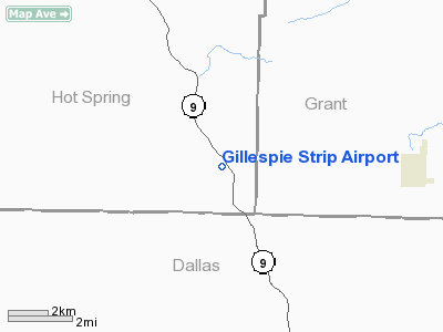
Gillespie Strip Airport
Address: Hot Spring County,
AR
Tel: 501-332-5140
Images and information placed
above are from
http://www.airport-data.com/airport/AR82/
We
thank them for the data!
|
General Info |
| Country |
United
States |
| State |
ARKANSAS
|
| FAA
ID |
AR82
|
| Latitude |
34-10-16.348N
|
| Longitude |
092-41-45.586W
|
| Elevation |
492
feet |
| Near
City |
LEOLA
|
We don't guarantee the information is fresh and accurate. The data may be wrong or outdated.
For more up-to-date information please refer to other sources.
|
|


