 |
|
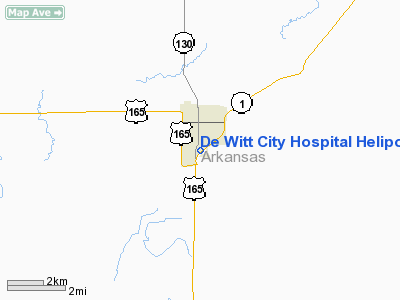
De Witt City Hospital Heliport |
Location & QuickFacts
|
FAA Information Effective: |
2005-10-27 |
|
Airport Identifier: |
AR59 |
|
Longitude/Latitude: |
091-20-19.4340W/34-16-45.3590N
-91.338732/34.279266 (Estimated) |
|
Elevation: |
190
ft / 57.91 m (Estimated) |
|
Land: |
0
acres |
|
From nearest city: |
0 nautical miles N of De Witt, AR |
|
Location: |
Arkansas
County, AR |
|
Magnetic Variation: |
03E
(1985) |
Owner & Manager
|
Ownership: |
Publicly
owned |
|
Owner: |
De
Witt City Hospital |
|
Address: |
P.o. Box 32
De
Witt, AR 72042 |
|
Phone number: |
501-946-3571 |
|
Manager: |
Darren
Caldwell Admin |
|
Address: |
Arkansas
County, AR |
|
Phone number: |
501-946-3571 |
Airport Operations and Facilities
|
Airport Use: |
Open
to public
MEDICAL |
|
Wind indicator: |
Yes |
|
Segmented Circle: |
No |
|
Control Tower: |
No |
|
Attendance Schedule: |
UNATNDD |
|
Sectional chart: |
Memphis |
|
Region: |
ASW
- Southwest |
|
Boundary ARTCC: |
ZME
- Memphis |
|
Tie-in FSS: |
JBR
- Jonesboro |
|
FSS on Airport: |
No |
|
FSS Phone: |
870-935-3471 |
|
FSS Toll Free: |
1-800-WX-BRIEF |
Runway Information
Helipad H1
|
Dimension: |
40
x 40 ft / 12.2 x 12.2 m |
|
Surface: |
CONC,
|
|
|
Runway H1 |
Runway |
| Traffic Pattern: |
Left |
Left |
|
Radio Navigation Aids
| ID |
Type |
Name |
Ch |
Freq |
Var |
Dist |
|
SGT |
NDB |
Stuttgart |
|
269.00 |
02E |
26.3
nm |
|
BKZ |
NDB |
Brinkley |
|
242.00 |
02E |
37.1
nm |
|
HEE |
NDB |
Thompson-robbins |
|
251.00 |
01E |
37.3
nm |
|
RNV |
NDB |
Renova |
|
272.00 |
04E |
40.4
nm |
|
CKM |
NDB |
Clarksdale |
|
341.00 |
02E |
40.9
nm |
|
FCY |
NDB |
Forrest
City |
|
332.00 |
01E |
48.6
nm |
|
PBF |
VOR/DME |
Pine
Bluff |
107X |
116.00 |
04E |
29.2
nm |
|
UJM |
VOR/DME |
Marvell |
033X |
109.60 |
01E |
37.4
nm |
|
MON |
VOR/DME |
Monticello |
053X |
111.60 |
04E |
47.0
nm |
|
GLH |
VOR/DME |
Greenville |
039X |
110.20 |
04E |
48.8
nm |
|
LIT |
VORTAC |
Little
Rock |
086X |
113.90 |
05E |
48.1
nm |
De Witt City Hospital Heliport
Address:
Arkansas
County, AR
Tel:
501-946-3571
Images
and information placed above are from
http://www.airport-data.com/airport/AR59/
We
thank them for the data!
| General Info |
| Country |
United
States |
| State |
ARKANSAS
|
| FAA ID |
AR59
|
| Latitude |
34-16-45.359N
|
| Longitude |
091-20-19.434W
|
| Elevation |
190
feet |
| Near City |
DE
WITT |
We don't guarantee the information is fresh and accurate. The data may be wrong or outdated.
For more up-to-date information please refer to other sources.
|
|


