 |
|
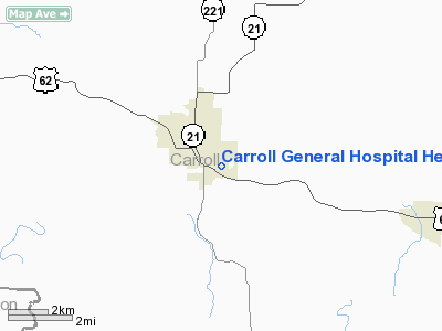
Carroll General Hospital Heliport |
Location
& QuickFacts
|
FAA
Information Effective: |
2005-10-27 |
|
Airport
Identifier: |
AR41 |
|
Longitude/Latitude: |
093-33-07.6780W/36-21-32.2510N
-93.552133/36.358959 (Estimated) |
|
Elevation: |
1280
ft / 390.14 m (Estimated) |
|
Land: |
0
acres |
|
From
nearest city: |
1
nautical miles E of Berryville, AR |
|
Location: |
Carroll
County, AR |
|
Magnetic
Variation: |
04E
(1985) |
Owner &
Manager
|
Ownership: |
Privately
owned |
|
Owner: |
Carroll
General Hospital |
|
Address: |
P.o.
Box 387
Berryville, AR 72616 |
|
Phone
number: |
501-423-6951 |
|
Manager: |
John
W. King, Administrator |
|
Address: |
214
Carter Street
Berryville, AR 72616 |
|
Phone
number: |
501-423-6951 |
Airport
Operations and Facilities
|
Airport Use: |
Private
MEDICAL. |
|
Wind
indicator: |
Yes |
|
Segmented
Circle: |
No |
|
Control
Tower: |
No |
|
Attendance
Schedule: |
ALL/ALL/ALL |
|
Sectional
chart: |
Kansas
City |
|
Region: |
ASW
- Southwest |
|
Boundary
ARTCC: |
ZME
- Memphis |
|
Tie-in
FSS: |
JBR
- Jonesboro |
|
FSS
Phone: |
870-935-3471 |
|
FSS
Toll Free: |
1-800-WX-BRIEF |
Runway
Information
Helipad
H1
|
Dimension: |
30 x 30 ft / 9.1 x 9.1 m |
|
Surface: |
CONC, Good Condition |
|
|
Runway
H1 |
Runway
|
| Traffic
Pattern: |
Left |
Left |
|
Radio Navigation
Aids
|
ID |
Type |
Name |
Ch |
Freq |
Var |
Dist |
|
PLK |
NDB |
Point
Lookout/dcmsnd |
|
204.00 |
03E |
22.4
nm |
|
SLG |
NDB |
Siloam Springs |
|
284.00 |
04E |
46.5 nm |
|
HRO |
VOR/DME |
Harrison |
072X |
112.50 |
04E |
16.6
nm |
|
DAK |
VOR/DME |
Drake |
025X |
108.80 |
07E |
36.6 nm |
|
RZC |
VORTAC |
Razorback |
111X |
116.40 |
04E |
28.4
nm |
Remarks
- INGRESS/EGRESS
ROUTES PLANNEDTO AVOID 40' POLE 90' N; 30' TREE 30' S; 25' LGTD BLDG
36' E OF PAD.
Carroll General Hospital
Heliport
Address: Carroll County,
AR
Tel: 501-423-6951
Images and information
placed above are from
http://www.airport-data.com/airport/AR41/
We thank them for the data!
|
General Info |
|
Country |
United States
|
|
State |
ARKANSAS |
|
FAA ID |
AR41 |
|
Latitude |
36-21-32.251N
|
|
Longitude |
093-33-07.678W
|
|
Elevation |
1280 feet |
|
Near City |
BERRYVILLE
|
We don't guarantee the information is fresh and accurate. The data may be wrong or outdated.
For more up-to-date information please refer to other sources.
|
|


