Location
& QuickFacts
|
FAA Information Effective: |
2005-10-27 |
| Airport Identifier: |
12AR |
|
Longitude/Latitude: |
092-20-07.5500W/35-10-42.3000N
-92.335431/35.178417 (Estimated) |
| Elevation: |
314
ft / 95.71 m (Estimated) |
|
Land: |
0
acres |
| From nearest city: |
7
nautical miles SW of Conway, AR |
|
Location: |
Faulkner
County, AR |
| Magnetic Variation: |
02E
(2000) |
Owner
& Manager
|
Ownership: |
Privately
owned |
| Owner: |
Tim
Tyler |
|
Address: |
51
Cadron Ridge Road
Greenbriar, AR 72058 |
| Phone number: |
501-679-2015 |
|
Manager: |
Tim Tyler |
| Address: |
51
Cadron Ridge Road
Greenbriar, AR 72058 |
|
Phone number: |
501-679-2015 |
Airport
Operations and Facilities
| Airport Use: |
Private |
|
Segmented Circle: |
No |
| Control Tower: |
No |
|
Attendance Schedule: |
UNATNDD |
| Lighting Schedule: |
DUSK-DAWN |
|
Sectional chart: |
Memphis |
| Region: |
ASW
- Southwest |
|
Boundary ARTCC: |
ZME
- Memphis |
| Tie-in FSS: |
JBR
- Jonesboro |
|
FSS Phone: |
870-935-3471 |
| FSS Toll Free: |
1-800-WX-BRIEF |
Airport Services
|
Fuel
available: MOGAS |
Fuel
available: MOGAS |
Runway
Information
Helipad
H1
|
Dimension: |
3210 x 40
ft / 978.4 x 12.2 m |
|
Surface: |
ASPH, |
|
Edge Lights: |
Medium |
|
|
Runway
H1 |
Runway
|
|
Traffic Pattern: |
Left |
Left |
|
Obstruction: |
131
ft ridge, 1000.0 ft from
runway |
|
|
Radio
Navigation Aids
|
ID |
Type |
Name |
Ch |
Freq |
Var |
Dist |
|
CWS |
NDB |
Conway |
|
302.00 |
05E |
7.2
nm |
|
BDQ |
NDB |
Bridge |
|
208.00 |
04E |
18.7
nm |
|
TYV |
NDB |
Toneyville |
|
290.00 |
04E |
20.6
nm |
|
HBZ |
NDB |
Heber
Springs |
|
256.00 |
03E |
25.7
nm |
|
MPJ |
NDB |
Morrilton |
|
410.00 |
07E |
29.2
nm |
|
SRC |
NDB |
Searcy |
|
323.00 |
02E |
29.7
nm |
|
RUE |
NDB |
Russellville |
|
379.00 |
03E |
37.6
nm |
|
INY |
NDB |
Independence
County |
|
317.00 |
03E |
41.5
nm |
|
VLX |
NDB |
Wilcox |
|
348.00 |
02E |
43.1
nm |
|
SGT |
NDB |
Stuttgart |
|
269.00 |
02E |
47.9
nm |
|
LRF |
TACAN |
Jacksonville |
029X |
|
04E |
17.9
nm |
|
LIT |
VORTAC |
Little
Rock |
086X |
113.90 |
05E |
31.1
nm |
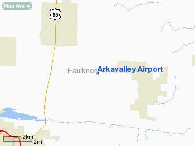
Arkavalley Airport
Address:
Faulkner
County, AR
Tel: 501-679-2015
Images
and information placed above are from
http://www.airport-data.com/airport/12AR/
We
thank them for the data!
|
General Info |
|
Country |
United
States |
|
State |
ARKANSAS
|
|
FAA
ID |
12AR
|
|
Latitude |
35-10-42.300N
|
|
Longitude |
092-20-07.550W
|
|
Elevation |
314
feet |
|
Near
City |
CONWAY
|
We don't guarantee the information is fresh and accurate. The data may be wrong or outdated.
For more up-to-date information please refer to other sources.