 |
|
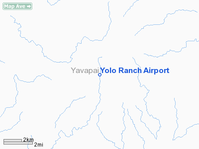
Location & QuickFacts
|
FAA
Information Effective: |
2005-10-27 |
|
Airport Identifier: |
33AZ |
|
Longitude/Latitude: |
112-58-12.6740W/34-47-55.0680N
-112.970187/34.798630 (Estimated) |
|
Elevation: |
5950 ft / 1813.56 m (Estimated) |
|
Land: |
0
acres |
|
From nearest city: |
4
nautical miles W of Camp Wood, AZ |
|
Location: |
Yavapai County, AZ |
|
Magnetic Variation: |
13E (1985) |
Owner & Manager
|
Ownership: |
Privately owned |
|
Owner: |
Yolo Ranch |
|
Address: |
28405 W. Comp Wood Rd.
Prescott, AZ 86305 |
|
Phone number: |
928-308-1476 |
|
Manager: |
Steven Croll
ADDL: 928-308-1476 |
|
Address: |
28405 W. Comp Wood Rd.
Prescott, AZ 86305 |
|
Phone number: |
520-403-1440 |
Airport Operations and Facilities
|
Airport
Use: |
Private |
|
Wind indicator: |
Yes |
|
Segmented Circle: |
No |
|
Control Tower: |
No |
|
Attendance Schedule: |
ALL/ALL/ALL |
|
Landing fee charge: |
No |
|
Sectional chart: |
Phoenix |
|
Region: |
AWP - Western-Pacific |
|
Boundary ARTCC: |
ZAB - Albuquerque |
|
Tie-in FSS: |
PRC - Prescott |
|
FSS on Airport: |
No |
|
FSS Phone: |
928-778-7810 |
|
FSS Toll Free: |
1-800-WX-BRIEF |
Airport Services
|
Airframe
Repair: |
NONE |
|
Power
Plant Repair: |
NONE |
Runway Information
Runway 14/32
|
Dimension: |
4000
x 50 ft / 1219.2 x 15.2 m |
|
Surface: |
GRAVEL,
|
|
|
Runway 14 |
Runway 32 |
|
Traffic Pattern: |
Left |
Left |
|
Radio Navigation Aids
|
ID |
Type |
Name |
Ch |
Freq |
Var |
Dist |
|
DRK |
VORTAC |
Drake |
088X |
114.10 |
14E |
24.9
nm |
|
PRC |
VOT |
Prescott |
|
110.00 |
|
28.5
nm |
Remarks
-
AIRSPACE STUDY NOT WARRANTED.
Based Aircraft
|
Aircraft
based on field: |
4 |
|
Single Engine Airplanes: |
1 |
|
Multi Engine Airplanes: |
2 |
|
Helicopters: |
1 |
Yolo Ranch Airport
Address:
Yavapai County,
AZ
Tel:
928-308-1476,
520-403-1440
Images and information placed above are from
http://www.airport-data.com/airport/33AZ/
We thank them for the data!
| General
Info |
| Country |
United
States |
| State |
ARIZONA
|
| FAA ID |
33AZ |
| Latitude |
34-47-55.068N
|
| Longitude |
112-58-12.674W
|
| Elevation |
5950 feet
|
| Near City |
CAMP WOOD
|
We don't guarantee the information is fresh and accurate. The data may be wrong or outdated.
For more up-to-date information please refer to other sources.
|
|


