 |
|
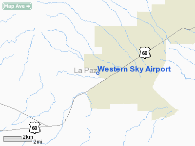
Location & QuickFacts
|
FAA
Information Effective: |
2005-10-27 |
|
Airport Identifier: |
0AZ2 |
|
Longitude/Latitude: |
113-38-30.0000W/33-46-41.0000N
-113.641667/33.778056 (Estimated) |
|
Elevation: |
1930 ft / 588.26 m (Estimated) |
|
Land: |
200 acres |
|
From nearest city: |
2
nautical miles W of Salome, AZ |
|
Location: |
La Paz County, AZ |
|
Magnetic Variation: |
13E (1995) |
Owner & Manager
|
Ownership: |
Privately owned |
|
Owner: |
Western Sky Airpark, Llc |
|
Address: |
65324 Hall Ave, P.o. Box 1104
Salome, AZ 85348 |
|
Phone number: |
928-859-4599 |
|
Manager: |
Don Miller |
|
Address: |
65324 Hall Ave, P.o. Box 1104
Salome, AZ 85348 |
|
Phone number: |
928-859-4599 |
Airport Operations and Facilities
|
Airport
Use: |
Private |
|
Wind indicator: |
Yes |
|
Segmented Circle: |
No |
|
Control Tower: |
No |
|
Attendance Schedule: |
UNATNDD |
|
Sectional chart: |
Phoenix |
|
Region: |
AWP - Western-Pacific |
|
Boundary ARTCC: |
ZLA - Los Angeles |
|
Tie-in FSS: |
PRC - Prescott |
|
FSS Phone: |
928-778-7810 |
|
FSS Toll Free: |
1-800-WX-BRIEF |
Airport Communications
Runway Information
Runway 12/30
|
Dimension: |
1500
x 100 ft / 457.2 x 30.5 m |
|
Surface: |
GRVL,
|
|
|
Runway 12 |
Runway 30 |
|
Traffic Pattern: |
Left |
Left |
|
Runway 17/35
|
Dimension: |
3500
x 100 ft / 1066.8 x 30.5 m |
|
Surface: |
ASPH,
|
|
|
Runway 17 |
Runway 35 |
|
Traffic Pattern: |
Left |
Left |
|
Radio Navigation Aids
|
ID |
Type |
Name |
Ch |
Freq |
Var |
Dist |
|
BXK |
VORTAC |
Buckeye |
043X |
110.60 |
14E |
45.3
nm |
Remarks
-
PROVIDED VFR, PRIVATE
USE, OBSTRUCTION FREE INGRESS AND EGRESS ROUTES.
Based Aircraft
|
Aircraft
based on field: |
3 |
|
Single Engine Airplanes: |
3 |
Western Sky Airport
Address:
La Paz County,
AZ
Tel:
928-859-4599
Images and information placed above are from
http://www.airport-data.com/airport/0AZ2/
We thank them for the data!
| General
Info |
| Country |
United
States |
| State |
ARIZONA
|
| FAA ID |
0AZ2 |
| Latitude |
33.778056
33� 46' 41.00" N |
| Longitude |
-113.641667
113� 38' 30.00" W |
| Elevation |
1930 feet
588 meters |
| Magnetic
Variation |
012� E
(01/06) |
| Operating
Agency |
PRIVATE
|
We don't guarantee the information is fresh and accurate. The data may be wrong or outdated.
For more up-to-date information please refer to other sources.
|
|


