 |
|
Location & QuickFacts
|
FAA
Information Effective: |
2005-10-27 |
|
Airport Identifier: |
36AZ |
|
Longitude/Latitude: |
111-27-03.4390W/32-59-37.2230N
-111.450955/32.993673 (Estimated) |
|
Elevation: |
1478 ft / 450.49 m (Estimated) |
|
Land: |
80 acres |
|
From nearest city: |
4
nautical miles NE of Coolidge, AZ |
|
Location: |
Pinal County, AZ |
|
Magnetic Variation: |
12E (1985) |
Owner & Manager
|
Ownership: |
Privately owned |
|
Owner: |
G
H Moyer & C O Diefendorf |
|
Address: |
504 N. 7th Place
Coolidge, AZ 85228 |
|
Address: |
|
Airport Operations and Facilities
|
Airport
Use: |
Private |
|
Wind indicator: |
Yes |
|
Segmented Circle: |
Yes |
|
Control Tower: |
No |
|
Attendance Schedule: |
UNATNDD |
|
Landing fee charge: |
No |
|
Sectional chart: |
Phoenix |
|
Region: |
AWP - Western-Pacific |
|
Boundary ARTCC: |
ZAB - Albuquerque |
|
Tie-in FSS: |
PRC - Prescott |
|
FSS on Airport: |
No |
|
FSS Phone: |
928-778-7810 |
|
FSS Toll Free: |
1-800-WX-BRIEF |
Airport Services
|
Airframe
Repair: |
NONE |
|
Power
Plant Repair: |
NONE |
Runway Information
Runway 09/27
|
Dimension: |
2390
x 100 ft / 728.5 x 30.5 m |
|
Surface: |
DIRT,
|
| |
Runway
09 |
Runway
27 |
|
Traffic Pattern: |
Left |
Right |
|
Runway 10/28
|
Dimension: |
2460
x 60 ft / 749.8 x 18.3 m |
|
Surface: |
DIRT,
|
| |
Runway
10 |
Runway
28 |
|
Traffic Pattern: |
Left |
Right |
|
Radio Navigation Aids
|
ID |
Type |
Name |
Ch |
Freq |
Var |
Dist |
|
CHD |
NDB |
Chandler |
|
407.00 |
12E |
24.3
nm |
|
FFZ |
NDB |
Falcon
Field |
|
281.00 |
12E |
31.5
nm |
|
AVQ |
NDB |
Marana |
|
245.00 |
12E |
36.9
nm |
|
SDL |
NDB |
Scottsdale |
|
224.00 |
12E |
44.6
nm |
|
GAZ |
NDB |
Globe |
|
255.00 |
13E |
45.0
nm |
|
IWA |
VORTAC |
Willie |
080X |
113.30 |
13E |
21.2
nm |
|
TFD |
VORTAC |
Stanfield |
095X |
114.80 |
12E |
24.0
nm |
|
PXR |
VORTAC |
Phoenix |
103X |
115.60 |
12E |
37.1
nm |
|
PHX |
VOT |
Phoenix
Sky Harbor |
|
109.00 |
|
38.6
nm |
Remarks
Based Aircraft
|
Aircraft
based on field: |
1 |
|
Single Engine Airplanes: |
1 |
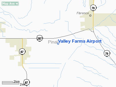
Valley Farms Airport
Address:
Pinal County,
AZ
Images and information placed above are from
http://www.airport-data.com/airport/36AZ/
We thank them for the data!
| General
Info |
| Country |
United
States |
| State |
ARIZONA
|
| FAA ID |
36AZ |
| Latitude |
32-59-37.223N
|
| Longitude |
111-27-03.439W
|
| Elevation |
1478 feet
|
| Near City |
COOLIDGE
|
We don't guarantee the information is fresh and accurate. The data may be wrong or outdated.
For more up-to-date information please refer to other sources.
|
|


