 |
|
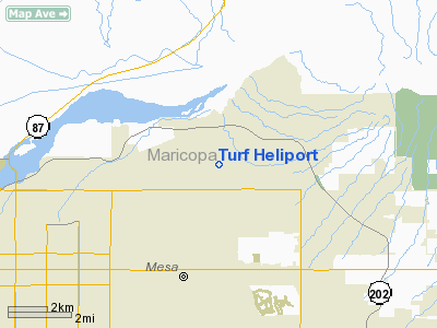
Location & QuickFacts
|
FAA
Information Effective: |
2005-10-27 |
|
Airport Identifier: |
AZ39 |
|
Longitude/Latitude: |
111-43-43.4990W/33-27-47.6650N
-111.728750/33.463240 (Estimated) |
|
Elevation: |
1385 ft / 422.15 m (Estimated) |
|
Land: |
4
acres |
|
From nearest city: |
0
nautical miles N of Mesa, AZ |
|
Location: |
Maricopa County, AZ |
|
Magnetic Variation: |
13E (1985) |
Owner & Manager
|
Ownership: |
Privately owned |
|
Owner: |
Mcdonnell Douglas Heli Co
FLIGHT OPS DEPT 560/G23. |
|
Address: |
5000 E. Mcdowell Road
Mesa, AZ 85205
560/623. |
|
Phone number: |
602-891-3771 |
|
Manager: |
Jerry Keyser |
|
Address: |
5000 E. Mcdowell Road
Mesa, AZ 85205
560/623. |
|
Phone number: |
602-891-3878 |
Airport Operations and Facilities
|
Airport
Use: |
Private |
|
Wind indicator: |
Yes |
|
Segmented Circle: |
No |
|
Control Tower: |
No |
|
Attendance Schedule: |
ALL/MON-FRI/0600-1630 |
|
Sectional chart: |
Phoenix |
|
Region: |
AWP - Western-Pacific |
|
Boundary ARTCC: |
ZAB - Albuquerque |
|
Tie-in FSS: |
PRC - Prescott |
|
FSS Phone: |
928-778-7810 |
|
FSS Toll Free: |
1-800-WX-BRIEF |
Airport Services
Runway Information
Helipad H1
|
Dimension: |
900
x 200 ft / 274.3 x 61.0 m |
|
Surface: |
TURF,
|
|
|
Runway H1 |
Runway |
|
Traffic Pattern: |
Left |
Left |
|
Radio Navigation Aids
|
ID |
Type |
Name |
Ch |
Freq |
Var |
Dist |
|
FFZ |
NDB |
Falcon
Field |
|
281.00 |
12E |
0.2
nm |
|
CHD |
NDB |
Chandler |
|
407.00 |
12E |
12.5
nm |
|
SDL |
NDB |
Scottsdale |
|
224.00 |
12E |
13.4
nm |
|
LUF |
TACAN |
Luke |
077X |
|
13E |
33.0
nm |
|
IWA |
VORTAC |
Willie |
080X |
113.30 |
13E |
10.4
nm |
|
PXR |
VORTAC |
Phoenix |
103X |
115.60 |
12E |
12.2
nm |
|
TFD |
VORTAC |
Stanfield |
095X |
114.80 |
12E |
35.9
nm |
|
PHX |
VOT |
Phoenix
Sky Harbor |
|
109.00 |
|
14.1
nm |
Remarks
-
PPR FOR USE.
-
PRODUCTION; TRNG AND
EXPERIMENTAL HEL FLT TEST OPNS.
-
ALL HEL REMAIN BLO FIXED
WING TFC PAT FALCON FIELD.
-
HEL ARR/DEP CORRIDOR
N OF HEL.
-
REQ PILOTS MON 123.35
OR 226.3 FOR COMPANY ACFT DISPATH APACHE CTL.
Based Aircraft
|
Aircraft
based on field: |
12 |
|
Helicopters: |
10 |
|
Military: |
2 |
Turf Heliport
Address:
Maricopa County,
AZ
Tel:
602-891-3771,
602-891-3878
Images and information placed above are from
http://www.airport-data.com/airport/AZ39/
We thank them for the data!
| General
Info |
| Country |
United
States |
| State |
ARIZONA
|
| FAA ID |
AZ39 |
| Latitude |
33-27-47.665N
|
| Longitude |
111-43-43.499W
|
| Elevation |
1385 feet
|
| Near City |
MESA |
We don't guarantee the information is fresh and accurate. The data may be wrong or outdated.
For more up-to-date information please refer to other sources.
|
|


